Thunderstorm Warning Issued; 90F Heat Expected
Thunderstorm Warning Issued; 90F Heat Expected
Anonymous
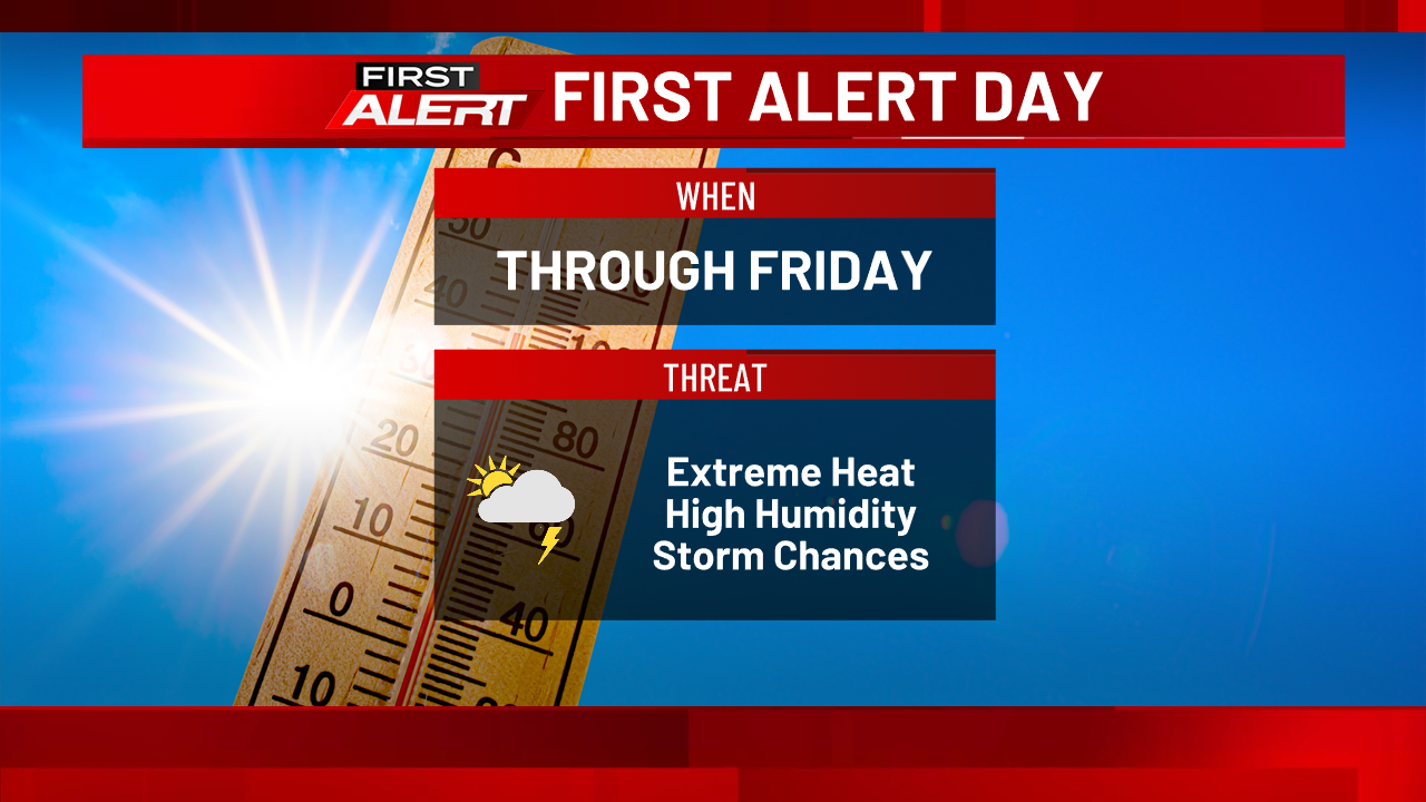
A thunderstorm warning has been issued for the region as temperatures climb toward 90°F. Early thunderstorms are expected tonight, followed by partly cloudy skies and overnight lows near 70°F. Johnson City Press reported a 90% chance of rain as the system moves through.
Storms Expected Tonight and Tomorrow
Thunderstorms will likely develop this evening and into the night. According to Johnson City Press, conditions will remain unsettled with heavy rain possible. Lows will dip to around 70°F overnight as moisture lingers in the atmosphere.
Tomorrow morning starts mostly sunny, but clouds will increase by afternoon. Johnson City Press forecasts scattered thunderstorms redeveloping in the afternoon and evening hours. The 40% chance of rain reflects some uncertainty about storm timing and intensity across the region.
Heat Wave Peaks Near 90 Degrees Friday
Friday's high will reach near 90°F, marking the hottest day in the short-term forecast. Johnson City Press notes that light northwest winds will do little to cool things down during the afternoon. Humidity levels will remain elevated throughout the day as residual moisture from storms persists.
What to Expect Over the Next 24 Hours
Tonight brings the first wave of severe weather. Overnight lows settle near 70°F after storms clear. The atmosphere will be primed for a second round of thunderstorms Friday afternoon once heating increases again.
Sentiment
Mostly NegativeNEGATIVENEUTRALPOSITIVE
Publishers
13
Articles
40
Reach
53
Topics
A
AnonymousAuthor


