Labor Day Weather Outlook
Pleasant Labor Day weekend weather precedes midweek storms and cooler conditions.
Anonymous
Key Points
1
New Hampshire is expected to turn sharply cooler after Thursday’s front, with temperatures falling into the 40s Friday morning before recovering to around 70 degrees under full sunshine; another chilly start is expected Saturday.
2
Minor flooding along southern New Jersey’s coast is being driven by onshore winds piling water up over successive tide cycles; a coastal flood advisory covers Atlantic, Cape May and Cumberland counties through 9 p.m. Sunday.
3
In the Dayton area, overnight temperatures are expected to fall into the 50s Sunday night, providing a notable break from recent heat and allowing residents to turn off their air conditioning.
4
High pressure settling over the DMV is expected to produce the sunny, comfortable holiday-weekend weather before southerly winds bring back heat and humidity ahead of the next cold front.
5
Across the New York metropolitan region, dew points should remain in the comfortable-to-dry range through Wednesday; humidity is forecast to rise Thursday, when showers or thunderstorms may develop before sunshine returns next weekend.
Much of the Northeast and Mid-Atlantic will enjoy a dry, comfortable Labor Day weekend with sunny skies and temperatures in the 70s to low 80s CBS News. The pleasant conditions stretch through Tuesday before heat and humidity build Wednesday, bringing a cold front that will trigger scattered showers and thunderstorms late Wednesday into Thursday NBC Philadelphia. Meanwhile, Utah faces a more active weather pattern with gusty winds, tropical moisture, and thunderstorm risks through Monday before conditions settle down.
High Pressure Delivers Dry Holiday Weekend
High pressure settling over the DMV region is producing the sunny, comfortable holiday-weekend weather across Pennsylvania, New Jersey, and surrounding areas WMUR. New Jersey residents can expect mostly dry conditions through Labor Day, with dew points remaining in the comfortable-to-dry range through Wednesday Yahoo News. Only isolated coastal showers are possible, keeping the core forecast dry for outdoor activities.
Coastal Flooding and Isolated Showers in New Jersey
Minor tidal flooding is possible along southern New Jersey's coast Sunday afternoon, driven by onshore winds piling water over successive tide cycles NBC Philadelphia. A coastal flood advisory covers Atlantic, Cape May, and Cumberland counties through 9 p.m. Sunday. Long Island could see a 30% to 40% chance of showers Saturday afternoon, but overall coastal impacts remain localized and minor.
Cold Front Brings Heat, Then Thunderstorms Midweek
Heat and humidity will build Wednesday, pushing temperatures into the mid-80s to around 90 in parts of New Jersey, the DMV, and Ohio CBS News. A cold front will produce the best chance of showers and thunderstorms late Wednesday into Thursday, though severe weather and flash-flood risks currently appear low. Humidity is forecast to rise Thursday when showers or thunderstorms may develop, before sunshine returns next weekend.
New Hampshire Turns Sharply Cooler After Thursday Front
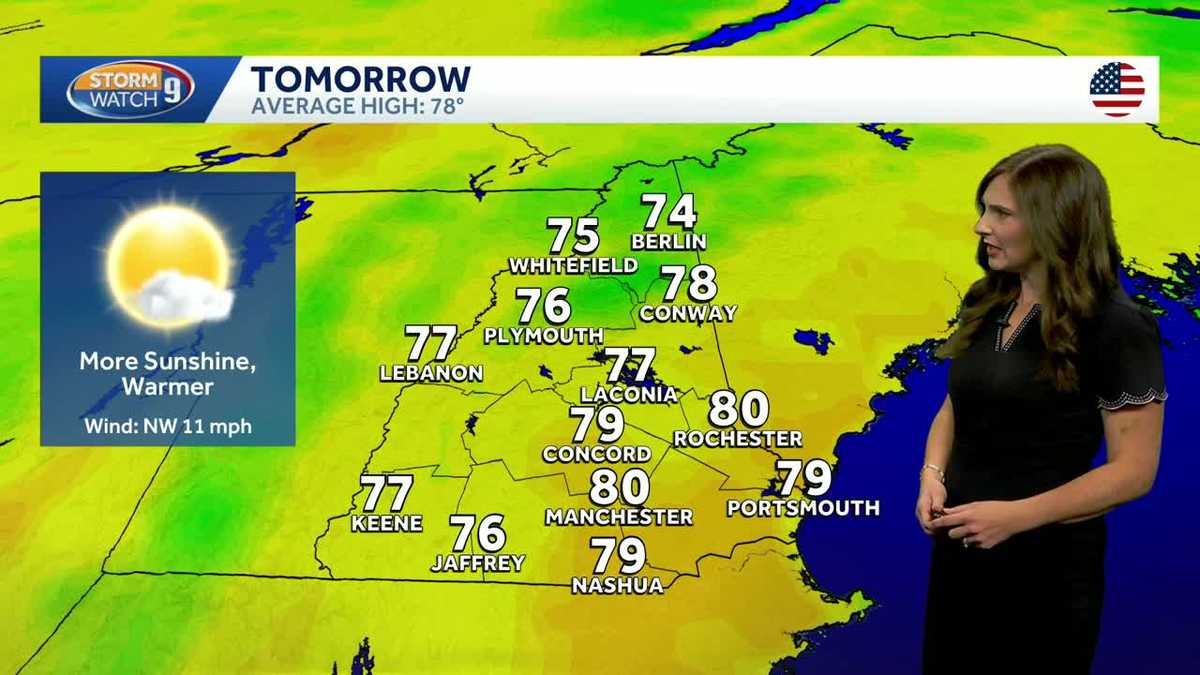
New Hampshire will see a dramatic temperature drop after Thursday's cold front passes, with temperatures plummeting into the 40s Friday morning WMUR. Highs Friday will recover to around 70 degrees under full sunshine, followed by another chilly Saturday start. Pennsylvania and New Hampshire may also turn wetter late Wednesday or Thursday before cooler, seasonable weather takes hold.
Utah Faces Gusty Winds and Tropical Moisture Risks
Utah will experience a more active weather pattern through Labor Day with gusty winds, elevated wildfire danger, tropical moisture, and thunderstorms NBC Philadelphia. Wind gusts of 30–40 mph are expected, with flash-flood risks and strong storms adding to hazard concerns. Cooler, drier weather will arrive after Monday, bringing relief from the active conditions.
Sentiment
Mostly NegativeNEGATIVENEUTRALPOSITIVE
Publishers
21
Articles
16
Reach
37
A
AnonymousAuthor


