Papua New Guinea Earthquake
Magnitude 6.4 earthquake strikes Papua New Guinea with low risk of casualties reported.
Anonymous
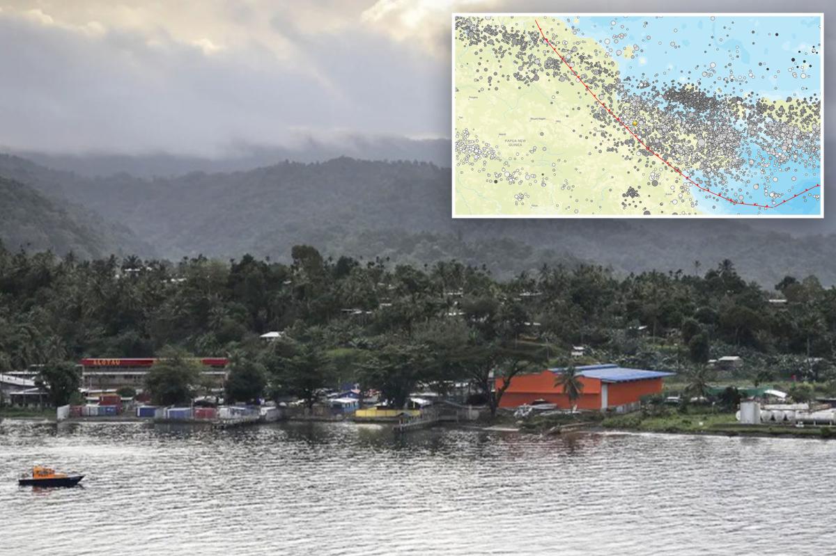
A magnitude 6.4 earthquake struck Papua New Guinea’s Eastern Highlands near Kainantu on September 20, at a depth of roughly 104 kilometers. The USGS issued a green alert, indicating a low likelihood of casualties or significant damage, and there was no tsunami threat or immediate report of casualties. The quake was felt by hundreds of thousands of people, while officials and monitoring agencies noted that vulnerable buildings and the region’s steep terrain could still pose localized risks from landslides or liquefaction. The event underscores Papua New Guinea’s exposure to earthquakes along the seismically active Australia-Pacific plate boundary and Pacific Ring of Fire.
Key Points
1
USGS estimates that about 386,000 people experienced moderate shaking and another 1.051 million felt light shaking from the earthquake.
2
The Australia-Pacific plate boundary underlying the region extends roughly 2,500 miles, from the Sunda (Java) Trench in the west to the Solomon Islands.
3
The USGS identified the area’s predominant vulnerable structures as informal metal, timber or galvanized-iron buildings and unreinforced brick masonry, while noting that liquefaction was expected to be limited and only a small number of people lived near potentially affected landslide or liquefaction zones.
4
Papua New Guinea has experienced 13 earthquakes of magnitude 7.5 or greater since 1900; a magnitude 8.1 earthquake in April 2007 triggered a tsunami and killed at least 40 people, according to the USGS.
5
Travel through the Highlands could face disruptions beyond the earthquake’s direct shaking because roads cross steep terrain and heavy rainfall can increase the risk of landslides and road closures, according to a travel-industry report.
Sentiment
Mostly NegativeNEGATIVENEUTRALPOSITIVE
Publishers
7
Articles
19
Reach
26
A
AnonymousAuthor


