Ireland Weather Alert
Yellow weather warnings issued across NI and Ireland as heavy rain and thunder threaten flooding.
Anonymous
Key Points
1
NI weather warning covers counties Antrim, Armagh, Down, Fermanagh, Londonderry and Tyrone, with heavy, slow-moving thundery showers potentially delivering 20–30 mm of rain in an hour or two during the 12:00–21:00 window on Tuesday.
2
Public safety guidance includes preparing an emergency flood kit and flood plan; if caught outside during thunder, shelter in a safe enclosed place such as a car and move away from trees.
3
Met Éireann's yellow rainfall warning for Wexford and Wicklow notes thundery downpours with the heaviest rain in the northwest overnight, and flags damp to unsettled conditions across Ulster and parts of Connacht on Wednesday.
4
Co Wexford and Wicklow are also under a Status Yellow warning for heavy thundery rain with spot flooding risk; Wexford County Council says the alert remains in force until midnight and urges people to stay weather aware.
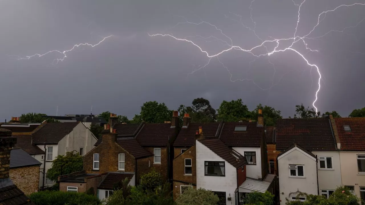
Yellow weather warnings are in force across Northern Ireland and parts of eastern Ireland this week, with heavy thundery downpours threatening flash flooding, travel chaos, and hail. Farming Life reports that the Met Office warning for Northern Ireland runs from noon until 9pm on Tuesday, covering all six counties.
Met Éireann has issued separate Status Yellow alerts for counties Wexford and Wicklow, warning of spot flooding and dangerous driving conditions. Authorities across both jurisdictions are urging the public to stay weather-aware and prepare for disruption.
NI Warning Covers All Six Counties Until 9pm
The Met Office yellow warning is active from 12:00 to 21:00 on Tuesday. It covers Antrim, Armagh, Down, Fermanagh, Londonderry, and Tyrone. Hello Rayo notes that slow-moving thundery showers could dump 20 to 30 mm of rain in just one or two hours in some spots.
Northern Ireland World warns that the showers could also bring strong winds and hail. Forecasters say some areas may see flooding of roads and homes. Transport and outdoor events face likely disruption during the warning window.
Wexford and Wicklow Face Thundery Rain and Spot Flooding
Met Éireann's yellow rainfall warning targets counties Wexford and Wicklow. The heaviest rain is expected to arrive this evening and continue overnight. Thundery downpours raise the risk of spot flooding — sudden, localised floods that can overwhelm drains and roads quickly.
Wexford County Council confirms the alert stays in force until midnight. The council is urging residents to stay weather-aware and monitor updated forecasts. Drivers are warned of hazardous road conditions due to surface water and reduced visibility.
Unsettled Conditions Set to Linger Into Midweek
The bad weather is not expected to clear quickly. Met Éireann models point to damp and unsettled conditions continuing through Wednesday. Connacht and Ulster are flagged as the areas most likely to see further heavy rain and showery spells into the middle of the week.
Northern Ireland World notes that cooler temperatures will accompany the wet weather. Travel impacts are expected to linger as conditions remain mixed. Forecasters say the northwest faces the heaviest overnight totals before any gradual improvement.
What Authorities Want You to Do Right Now
Officials are giving clear safety advice. If you are caught outside during thunder, get into a car or another solid, enclosed building straight away. Stay away from trees — lightning can strike them and the current can travel along the ground nearby.
Households are being told to prepare an emergency flood kit and have a flood plan ready. Check travel conditions before setting out. Farming Life adds that people should avoid low-lying roads and any area known to flood quickly after heavy rain.
Sentiment
Mostly NegativeNEGATIVENEUTRALPOSITIVE
Publishers
11
Articles
4
Reach
15
A
AnonymousAuthor


