Ancient Road Network Mapped
Researchers map 300,000 kilometers of Roman roads, challenging common historical assumptions.
Anonymous
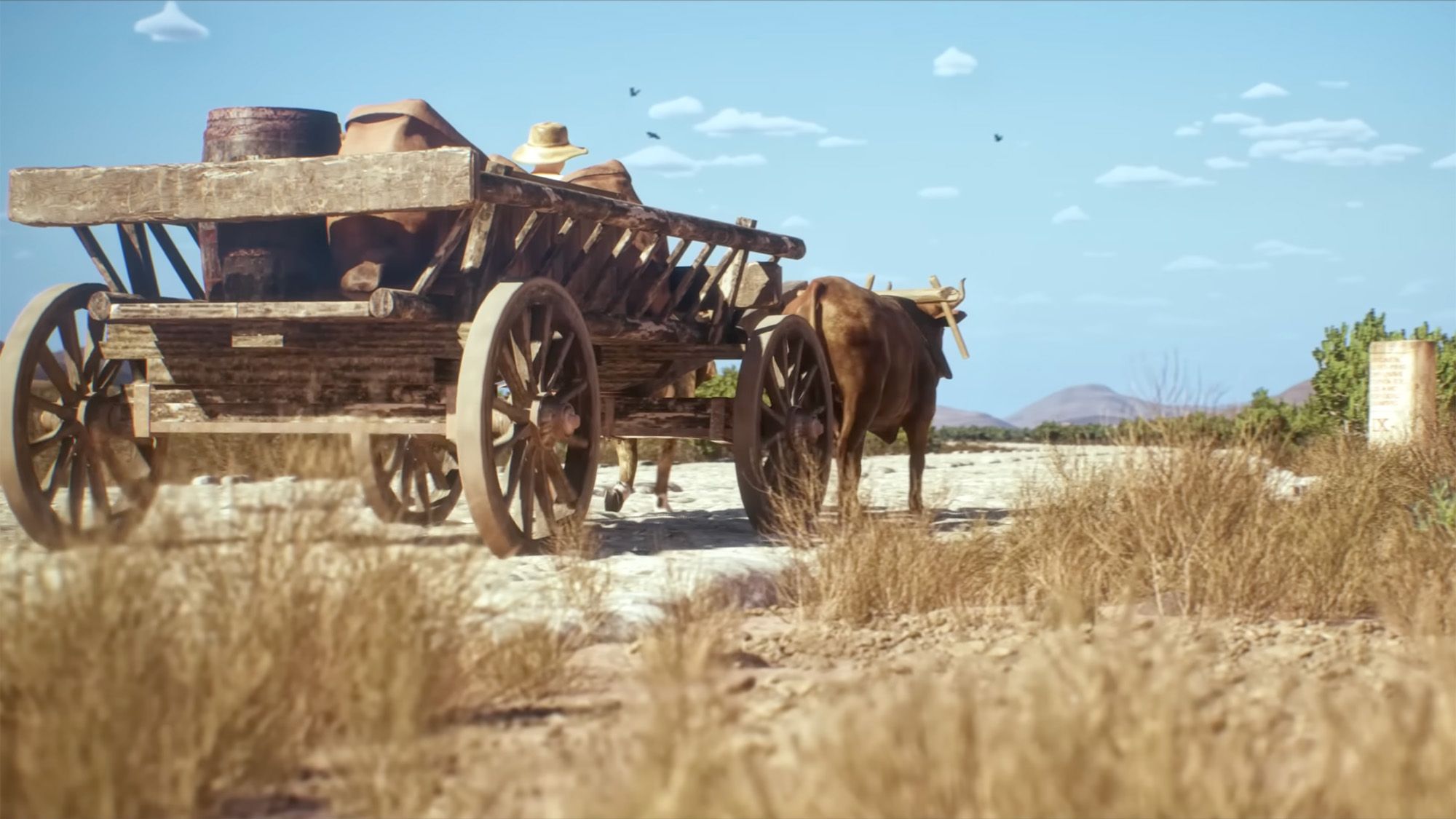
Researchers have analyzed roughly 300,000 kilometers of Roman roads across Europe, North Africa, the Middle East and parts of western Asia, producing the most detailed reconstruction yet of the empire’s transportation network. The study challenges familiar assumptions: the roads were not uniformly straight, Rome was not the sole or most central destination, and modern travelers may overstate how much of the ancient network survives intact today. Roman engineers generally favored direct routes where terrain allowed, but mountains, valleys, rivers, settlements and available construction techniques shaped the network, often making roads less straight than modern highways. Cities including Constantinople, Byzantium and Ankara were in some respects more centrally positioned within the network than Rome. The roads linked military bases, cities, farms, rivers and sea routes, helping move troops, goods, people, diseases and ideas while supporting both imperial expansion and everyday local commerce.
Key Points
1
The reconstruction represents the Roman road network as it existed around AD 150 and was created using topographic mapping, satellite imagery and historical sources—more than doubling the amount of road data available in earlier datasets.
2
The network was not composed solely of newly built Roman roads: it also incorporated upgrades to pre-existing routes, making it a hybrid system that developed over time.
3
The road system was vital to sustaining Rome’s roughly 1 million residents, who depended heavily on imported grain transported through the empire’s roads and connected waterways.
4
The researchers caution that even the 300,000-kilometer Itiner-e database does not capture the entire Roman road system, so broad claims about the network—including how uniformly it was built or how much survives—remain incomplete.
Sentiment
Mostly NegativeNEGATIVENEUTRALPOSITIVE
Publishers
8
Articles
79
Reach
87
A
AnonymousAuthor


