Late-summer heatwave spreads globally
Late-Summer Heat Expands Across the United States and Prepares for UK Warm-Up
Anonymous
Key Points
1
The GFS model projects temperatures of at least 27C in 24 English counties next week, with the counties concentrated in eastern, southeastern, central and southern England; the forecast does not identify any Welsh counties at that threshold.
2
The National Weather Service’s HeatRisk measure accounts not only for daytime temperatures, but also how unusual the heat is for the season, its duration, warm overnight temperatures and the potential for heat-related impacts.
3
In the Washington region, Thursday’s cold front is expected to bring morning showers to northern areas, with isolated thunder possible as the front moves south; humidity should fall on Friday, although additional showers or thunderstorms may return over the weekend.
4
San Francisco’s projected Wednesday highs vary sharply by neighborhood: about 95F in the Mission District, 93F in the Castro, 92F in Pacific Heights and 80F at Ocean Beach and in the Outer Sunset.
5
The San Francisco heat is expected to ease quickly, with the ocean breeze returning Thursday and city temperatures falling to about 75F; the article says the city’s last upper-90s reading was a 97F high on October 6, 2024.
A late-summer heat surge is sweeping across the U.S. and UK this week, with the southern Plains and Mississippi Valley facing prolonged extreme heat and potential daily records, while temperatures in the 90s persist. National Weather Service forecasts highs near or above 90 degrees in Washington, D.C., the Tennessee Valley, and Northwest Arkansas by midweek, followed by storms and cooler air. Northern California faces sharply elevated inland temperatures reaching the upper 90s or low 100s, with San Francisco neighborhoods ranging from 80°F at the coast to 95°F inland on Wednesday before ocean breezes bring relief Thursday.
The UK is also warming next week as rain gives way to high pressure. Global Forecast System model data projects temperatures of at least 27–28°C (81–82°F) across 24 English counties next week, concentrated in eastern, southeastern, central and southern England, marking above-average conditions for late summer.
Southern Plains Face Record Heat and Dangerous Overnight Lows
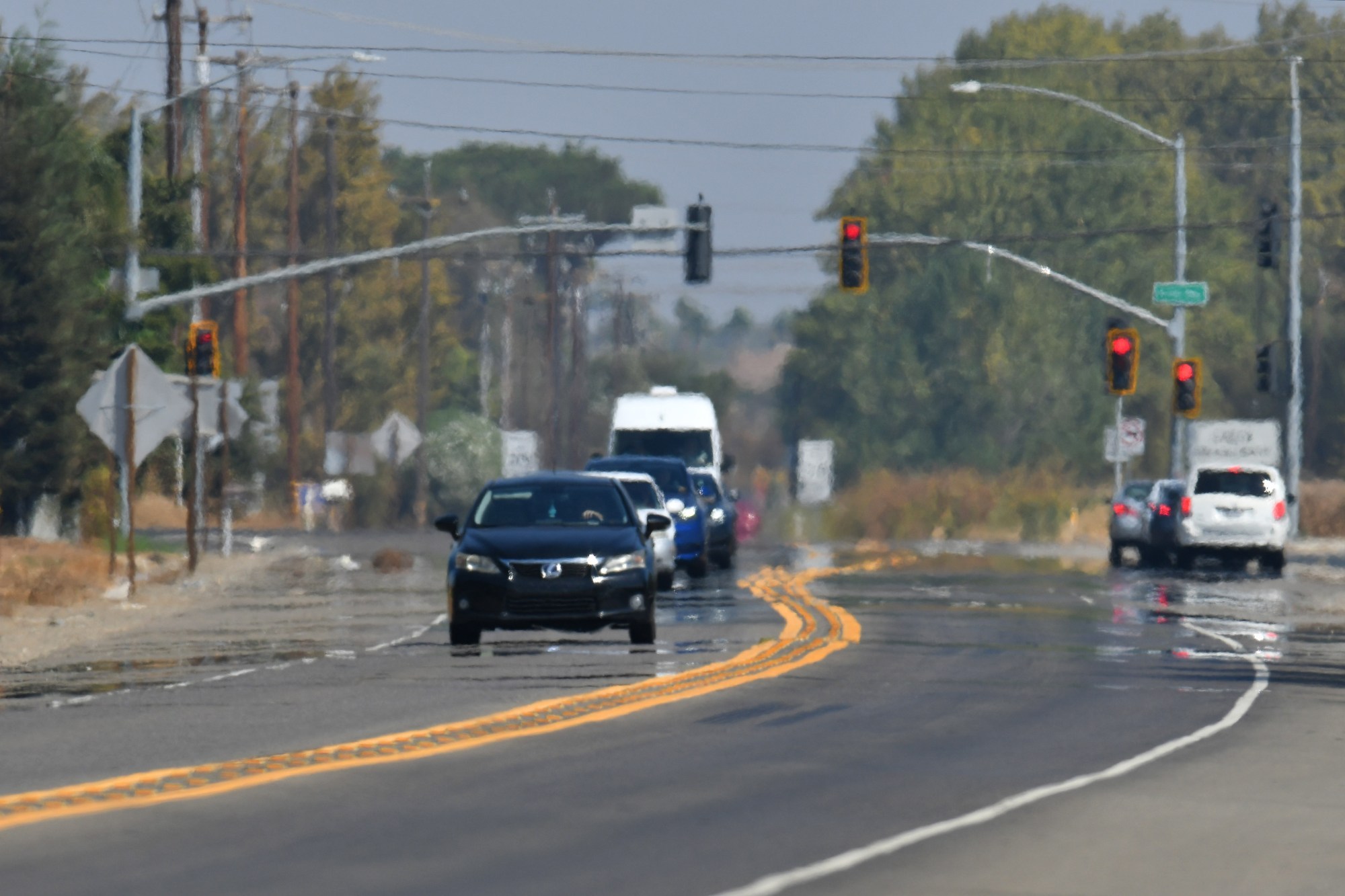
The southern Plains and Mississippi Valley are locked in prolonged extreme heat this week, with Fox 34 reporting that record-breaking temperatures are possible Wednesday and Thursday before a brief cooldown arrives. Afternoon highs are expected to reach the upper 90s to low 100s. The danger extends beyond daytime: warm overnight temperatures prevent the body from recovering after sunset, raising health risks significantly. Topeka experienced nine consecutive days at or above 99 degrees, a pattern that strains cooling systems and threatens vulnerable populations.
San Francisco Heat Peaks Wednesday Then Breaks Thursday
Northern California faces a sharp warm-up Wednesday, with East Bay Times reporting that the Bay Area heat wave is expected to peak with temperatures in the hottest inland places threatening 100 degrees and air quality more unhealthy than normal. San Francisco shows stark neighborhood differences: the Mission District will reach about 95°F while Ocean Beach and the Outer Sunset stay around 80°F, a difference driven by weak ocean breezes and reduced marine layer cooling. Napa Valley Register confirms intense heat across the Bay Area, with heat advisories covering inland valleys and nearby regions.
Relief arrives quickly. Ocean breezes return Thursday afternoon, dropping San Francisco temperatures to around 75°F. Fox 13 Seattle tracks broader regional patterns, noting that coastal and inland cooldown spreads Friday. San Francisco's last upper-90s reading was a 97°F high on October 6, 2024, so this midweek surge is brief but intense.
Washington D.C. and Mid-Atlantic Heat Builds Before Front Clears
Washington, D.C., the Tennessee Valley, and Northwest Arkansas are becoming hotter and more humid midweek, with National Weather Service forecasting highs near or above 90 degrees. A cold front arrives Thursday morning, bringing showers to northern areas and isolated thunderstorms as it moves south. The front will stall to the north in some areas like northern Alabama, leaving mid-90s temperatures and limited storm relief there, while Kansas will see more dramatic cooling from around 100 degrees to the upper 80s and lower 90s.
Humidity falls Friday as the system moves through, though additional showers and thunderstorms may return over the weekend. The National Weather Service HeatRisk measure accounts not only for daytime temperatures but also how unusual the heat is for the season, its duration, warm overnight temperatures, and potential for heat-related health impacts—a more complete picture than peak afternoon numbers alone.
UK Trades Rain for Above-Average Warmth Next Week
The UK's unsettled rain and cooler conditions this week will give way to drier, warmer weather next week as high pressure builds in. The Global Forecast System model projects temperatures of at least 27°C across 24 English counties next week, concentrated in eastern, southeastern, central and southern England. Parts of England and Wales are expected to see above-average temperatures for late summer. The shift from wet to dry represents a sharp reversal for the region after days of rainfall.
Sentiment
Mostly NegativeNEGATIVENEUTRALPOSITIVE
Publishers
28
Articles
37
Reach
65
Topics
A
AnonymousAuthor


