Summer Heat Expected Across Regions Into Fall
Summer Heat Expected Across Regions Into Fall
Anonymous
Key Points
1
Eastern Iowa’s wetter pattern is expected to continue through Sunday, with another rain opportunity arriving Monday night into Tuesday before conditions turn dry again by next Wednesday.
2
Portland recorded only two daily temperature records during the summer, both on June 14 and 15; its lone 100-degree day occurred July 21.
3
Fall officially begins in Portland Tuesday at 5:05 p.m., after one final summer-like weekend before cooler, more autumnal weather arrives.
4
In Mississippi, temperatures are forecast to reach about 98 degrees during Saturday’s college-football tailgates, with lows only around 73 degrees overnight; highs then remain near 96 to 97 through Tuesday.
5
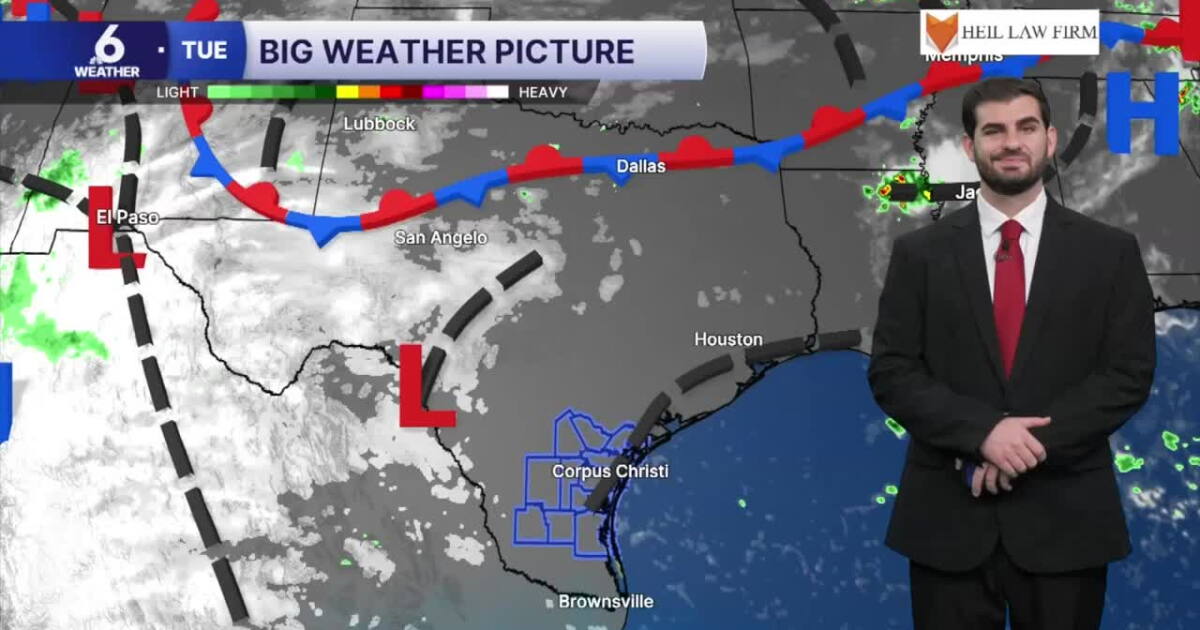
South Texas is expected to remain under a ridge of high pressure, with heat indices frequently exceeding 100 degrees, warm overnight lows and no significant cold front in sight through late September.
Fall arrives this week across North America, but summer heat will stubbornly linger in the South. KCRG reports that Mississippi and South Texas face persistent temperatures in the mid- to upper 90s, with occasional peaks at 100 degrees through next week. Eastern Iowa and Portland are shifting toward cooler, wetter patterns, while northern Maine experiences a sharp seasonal drop into the 50s and 60s.
The autumn transition reveals a stark divide: heat and drought in the Deep South versus mild, wet conditions in the Upper Midwest and Pacific Northwest. Action News Now marks the end of summer's official reign, but meteorologists warn that heat will persist far longer in some regions than others.
Mississippi and South Texas Brace for Extended Heat
The Deep South shows no signs of cooling down as fall begins. KRISTV reports Mississippi will see temperatures around 98 degrees Saturday during college-football season, with overnight lows near 73 degrees. Highs will remain in the 96-to-97-degree range through Tuesday. Rain chances are isolated at best.
South Texas faces an even hotter squeeze. A ridge of high pressure will keep heat indices frequently exceeding 100 degrees through late September. Warm overnight lows will persist, and no significant cold front appears in the forecast. Dry conditions will dominate, making this a brutal extended summer for the region.
Iowa Shifts Into Cool, Wet Pattern
Eastern Iowa is taking the opposite path. KCRG reports morning showers will give way to clearing skies Tuesday, with mild temperatures climbing into the 60s. A cloudier, wetter pattern will develop late in the week and continue through the weekend, bringing much-needed relief from summer's grip.
Rain will continue through Sunday, with another opportunity arriving Monday night into Tuesday before drying out again by next Wednesday. WKOW notes that increasing sunshine and cool temperatures will mark the seasonal shift, offering a true fall feel for the region.
Portland's Summer Ends Quietly Before Fall Arrives
Portland enjoyed a mild summer that largely avoided the extreme heat gripping other regions. The city recorded only two daily temperature records during summer, both on June 14 and 15. Its lone 100-degree day came on July 21, and the season included several wildfire-related smoke events that disrupted air quality.
Fall officially begins in Portland on Tuesday at 5:05 p.m., KMVT reports. One final summer-like weekend will precede a shift to cooler, more autumnal weather. Improved conditions and wetter patterns have already replaced the smoke-filled days, setting the stage for a typical Pacific Northwest autumn.
Maine Experiences Sharp Seasonal Drop
Northern and coastal Maine will skip summer's farewell and jump straight into fall. Chilly nights with possible frost are expected, with highs mainly in the 50s and 60s. Mostly dry conditions will continue into next week, delivering the crisp, cool weather that defines early autumn in New England.
Sentiment
Mostly PositiveNEGATIVENEUTRALPOSITIVE
Publishers
16
Articles
2
Reach
18
Topics
A
AnonymousAuthor


