Montauban 3D Model Complete
ESGold Completes Expanded 3D Geological Model for Montauban Project in Québec
Anonymous
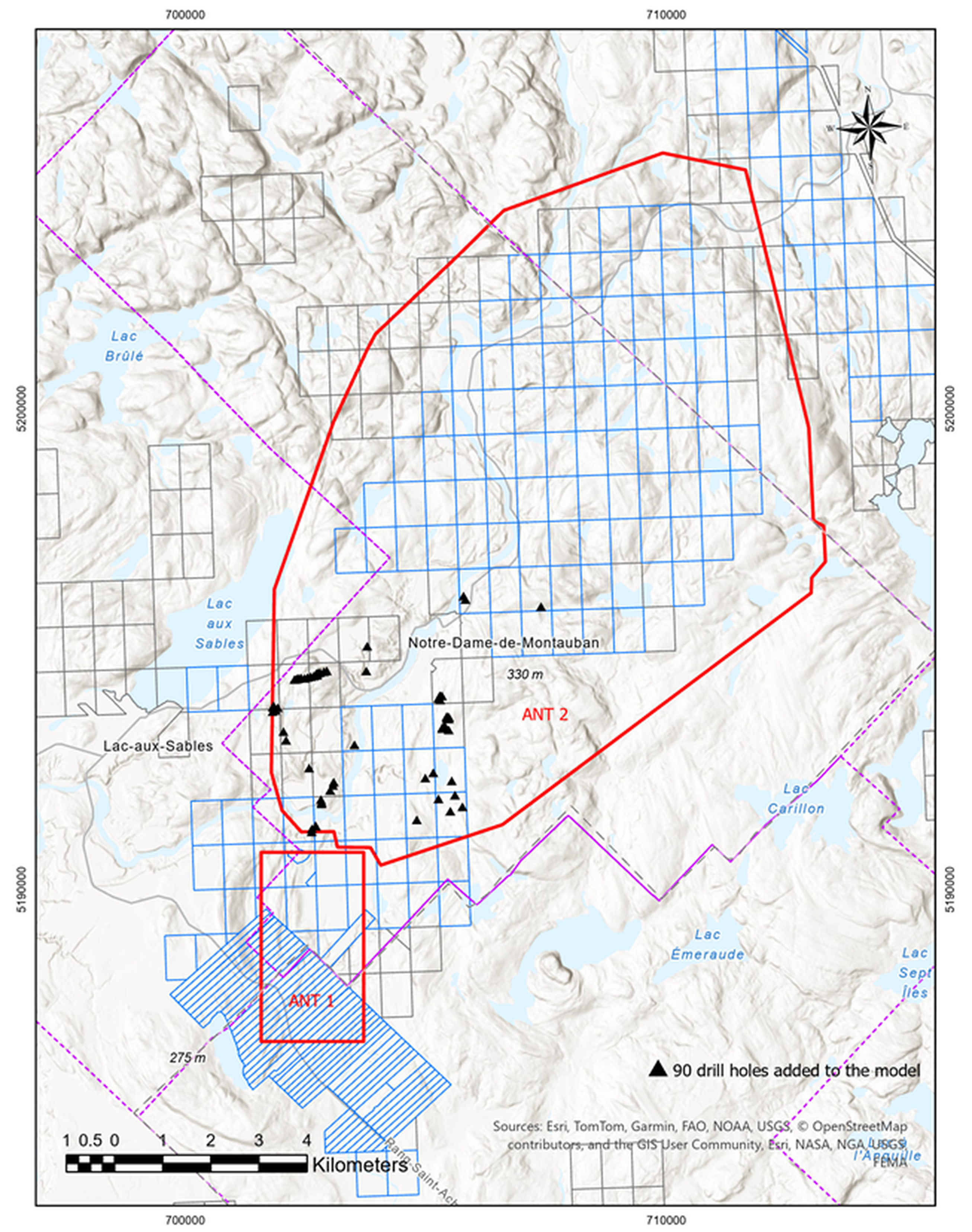
ESGold has completed an expanded Phase 2 Ambient Noise Tomography survey and updated a property-scale 3D geological model for its approximately 70-square-kilometer Montauban gold-silver project in Québec. The model integrates 1,637 drill holes, 1,707 multi-element samples, historical assays, lithology, structural interpretations, regional mapping and geophysical data, including recordings from 200 geophone stations covering depths of roughly 86 meters to 1.2 kilometers. The company says the model highlights southern and eastern exploration corridors, as well as deeper and under-tested northern areas, to help rank targets and guide future drilling beyond the historic mine. ESGold cautions that the ANT features are interpretive and do not independently demonstrate mineralization or continuity of known mineralized bodies.
Key Points
1
The ANT-2 survey was entirely passive, using ambient seismic noise rather than an active seismic source, and produced a model evaluated across 1,251 grid nodes. Data were collected over 32 days between March 19 and April 19, 2026.
2
ESGold says the model will support exploration drilling from 2027 onward, with the southern and eastern corridors prioritized because favorable lithology, structural architecture, geochemical pathfinders and geophysical features converge there.
3
ESGold CEO Gordon Robb said the new framework allows the company to follow geological units associated with known mineralization farther east while tracing the deeper fault and structural system beneath Montauban.
4
Montauban is located approximately 120 kilometres west of Québec City, and ESGold describes the project as fully permitted, fully funded and under construction, with production anticipated in 2026.
Sentiment
Mostly PositiveNEGATIVENEUTRALPOSITIVE
Publishers
5
Articles
13
Reach
18
Topics
A
AnonymousAuthor


