Regional Weather Shifts
Departing Nor’easter Clears Way for Midweek Warmth and Rising Rain Chances
Anonymous
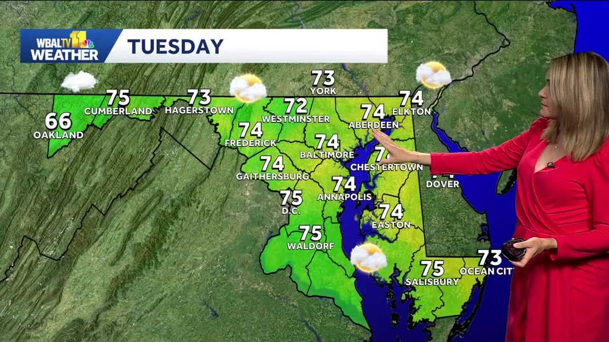
The departing nor’easter is bringing clouds, breezy conditions and a chance of light rain to parts of Pennsylvania, with heavier rain and coastal flooding farther east. In south-central Pennsylvania and one Pittsburgh-area forecast, cooler-than-normal weather is expected to give way to sunshine and above-average highs in the upper 70s to near 80 by midweek, followed by rising rain chances late in the week and cooler, unsettled weather. Another Pittsburgh forecast calls for mostly sunny conditions near 70 through the weekend, with rain holding off until at least midweek. Central North Carolina is forecast to turn much hotter, with mostly sunny skies and highs in the upper 80s later in the week; forecasters say the heat is not a local effect of the developing El Niño.
Key Points
1
The Pittsburgh forecast put the chance of showers from the coastal storm at 20%, while Indiana, Pennsylvania, recorded just one-tenth of an inch from an outer rain band.
2
The coastal storm brought four to five inches of rain to some areas, with large totals extending inland to Winslow and Southampton; forecasters said its northward movement would help winds pull water back out to sea in some of the hardest-hit communities.
3
North Carolina State Climate Office experts described the developing El Niño as potentially the strongest since 1950; they said its local effects usually peak from mid-fall through winter, and rainy days could occur in the coming months.
4
One Pittsburgh forecast said winds could reach 10 to 20 mph during the Steelers game, while rainfall from the nor’easter was expected to total no more than about 0.10 inch.
Sentiment
Mostly NegativeNEGATIVENEUTRALPOSITIVE
Publishers
16
Articles
8
Reach
24
A
AnonymousAuthor


