Nationwide Severe Weather Updates
Severe storms and heavy rain sweep across multiple US regions this week
Anonymous
Key Points
1
In Kansas, Monday could briefly bring temperatures near 100 degrees near the Oklahoma border, sustained winds of 15–30 mph with gusts up to 45 mph, and a short window of elevated fire danger west of I-135.
2
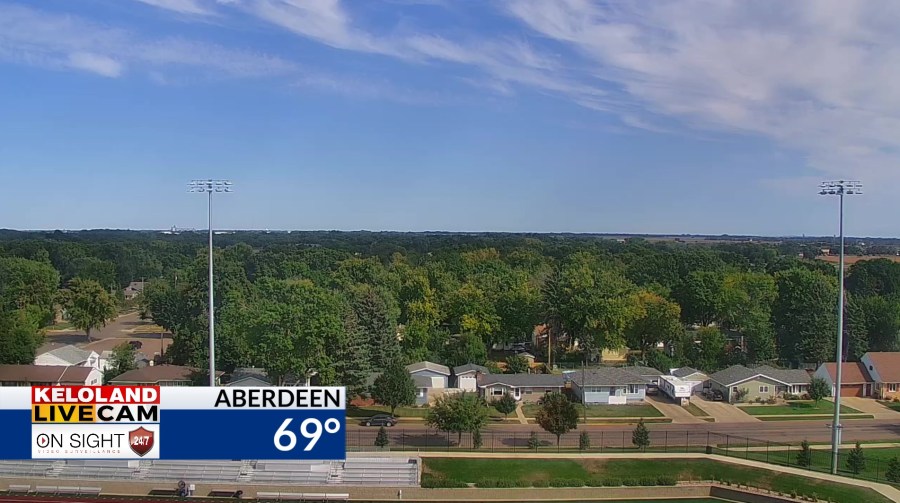
South Dakota’s forecast includes a relatively dry and sunny break on Tuesday, while the best chance for rain later in the week is expected Friday; temperatures should remain near or below average early in the week and moderate toward its end.
3
Central Florida’s Sunday storms are expected to form as the east and west coast sea breezes converge over Interstate 4 around 3 p.m.; showers and storms could persist until about 9 p.m., with heat-index values near 100 degrees beforehand.
Much of the central and eastern United States faces scattered storms and heavy rain this week, with the greatest impacts hitting the Plains and Southeast. KSN reports that Kansas will see a slow-moving front bring several days of scattered storms, locally damaging winds, and hail, while Yahoo Weather notes South Dakota could experience overnight storms with wind and hail Monday. ClickOrlando warns Central Florida will face stormy afternoons as sea breezes collide, and WBAY indicates New England will see heavy Sunday rain before drier conditions return midweek.
While most regions face only moderate temperature swings early in the week, the combination of wind gusts up to 45 mph in Kansas, potential isolated flooding, and fire danger west of I-135 requires attention from residents and emergency planners across multiple states.
Kansas Faces Days of Wind, Hail, and Isolated Flooding
A slow-moving front will dominate Kansas weather through midweek, delivering scattered storms over multiple days. KSN reports Monday could briefly bring near-100-degree heat near the Oklahoma border, but sustained winds of 15–30 mph with gusts reaching 45 mph will follow. West of I-135, a short window of elevated fire danger exists due to lower humidity and strong winds.
Damaging winds and hail pose the primary severe-weather threats, with isolated flooding possible where storms stall. Cooler temperatures will arrive after the front passes, providing relief from the brief heat spike early in the period.
South Dakota Storm Risk Peaks Monday, Then Eases
Yahoo Weather indicates South Dakota's marginal severe-weather risk arrives with overnight storms early in the week, with wind and hail as the main hazards. Heavier rain is expected Monday, followed by a relatively dry and sunny break Tuesday.
Temperatures will hover near or below average early in the week before moderating toward Friday. The best chance for additional rain arrives later in the week, giving farmers and outdoor workers a midweek window to plan fieldwork and operations.
Central Florida's Predictable Afternoon Storm Pattern
ClickOrlando reports that Sunday storms will form around 3 p.m. when Atlantic and Gulf sea breezes converge over Interstate 4. Heat-index values near 100 degrees will precede the storms, with showers and storms persisting until about 9 p.m.
A ridge of high pressure moves in midweek, bringing drier air and breezier conditions. WPBF notes that high temperatures will reach the low 90s Sunday with scattered rain developing around 4 p.m. This locally driven, diurnal pattern requires planning around lightning and gusty downpours but poses limited widespread risk.
New England Heavy Rain Sunday, Drier Pattern Midweek
WBAY indicates the Northeast will experience periods of heavy Sunday rain with localized flooding and isolated thunder. Monday brings drier, seasonable weather with highs in the mid-60s across much of the region.
Cooler conditions arrive Tuesday before another rain system moves in later in the week. The weekend break from heavy rain gives residents time to assess flooding and clear drainage before the next system arrives, reducing cumulative flood risk across New England.
Sentiment
Mostly NegativeNEGATIVENEUTRALPOSITIVE
Publishers
12
Articles
3
Reach
15
A
AnonymousAuthor


