Great Lakes Weather Warnings
Strong Storm System Brings Heavy Rain and Gale Warnings Across the Great Lakes
Anonymous
Key Points
1
A Frost Advisory is in effect for parts of Michigan’s western Upper Peninsula from 2 a.m. to 9 a.m. Monday, with temperatures expected to fall into the upper 20s and low 30s; patchy frost is also possible in other interior areas of the Upper Peninsula.
2
The Keweenaw Peninsula could see frequent wind gusts near 45 mph Tuesday afternoon, with a 60% to 90% chance of reaching Wind Advisory criteria.
3
In the Milwaukee area, rainfall from Monday afternoon through Tuesday morning is forecast at 0.5 to 2 inches, with locally higher totals possible where thunderstorms repeatedly track over the same locations.
4
A Gale Watch for portions of the open waters of Lake Michigan runs from 7 p.m. Monday to 1 p.m. Tuesday, while nearshore conditions may become hazardous for smaller boats as south to southwest winds strengthen.
5
The forecast calls for temperatures to drop sharply after the storm, with Milwaukee-area highs in the mid-60s Wednesday, drier conditions Thursday, and renewed thunderstorm chances Friday afternoon into Saturday.
A strong storm system will drench the Great Lakes region starting Monday, with the heaviest rain and worst conditions hitting Monday night into Tuesday. Fox 6 Now reports that Michigan, Wisconsin and surrounding areas face rain, gusty winds up to 50 mph and possible thunderstorms over the next several days. Gale Watches are in effect for Lake Michigan, Lake Superior and Lake Huron, where boaters should expect hazardous conditions.
The Milwaukee area could receive 0.5 to 2 inches of rain, with even higher totals possible where storms repeatedly stall. 1039 WVBO notes that temperatures will drop sharply after the system passes, bringing cooler fall-like weather by Wednesday. A brief break is expected mid-week before more thunderstorms return Friday and Saturday.
Heavy Rain and Thunderstorms Hit Monday Through Tuesday
The main event begins Monday afternoon and peaks overnight into Tuesday morning. Rain will be widespread across Michigan and Wisconsin, with thunderstorms likely in many areas. Some storms could be strong enough to drop 2+ inches locally if they stall over the same spot. Temperatures will remain mild during the rain, then plummet once the system exits.
In the Milwaukee area, forecasters expect 0.5 to 2 inches of rainfall from Monday afternoon through Tuesday morning. Fox 6 Now reports that the heaviest rain should fall late Monday night and early Tuesday. Severe weather is not expected, but the volume and intensity of rain could still cause minor flooding in poor drainage areas.
Dangerous Winds on Lakes Force Gale Watches
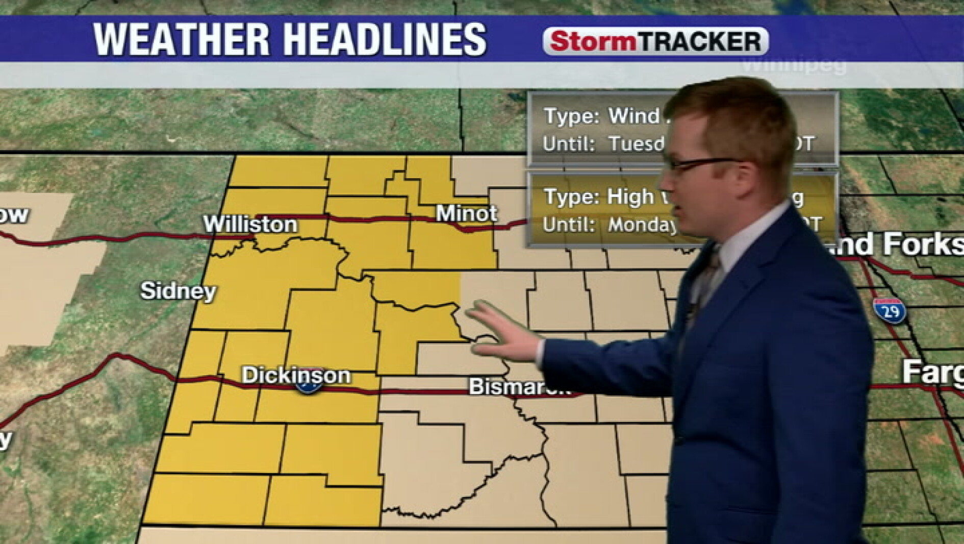
The Keweenaw Peninsula faces particularly brutal conditions Tuesday afternoon, with wind gusts near 45 mph. Forecasters estimate a 60% to 90% chance that winds will reach Wind Advisory levels. On the open water, Lake Michigan, Lake Superior and Lake Huron will see gusts of 35 to 50 mph from Monday evening through Tuesday afternoon. A Gale Watch runs from 7 p.m. Monday to 1 p.m. Tuesday.
Boaters and sailors should stay off the water or prepare for hazardous conditions. Nearshore areas may become dangerous for smaller vessels as south to southwest winds strengthen. Sidney Herald and Watford City News both caution that very windy conditions will persist through much of Tuesday before gradually subsiding.
Frost Possible Monday Morning Before Warmth Returns
Before the main storm arrives, a Frost Advisory is in effect for parts of Michigan's western Upper Peninsula from 2 a.m. to 9 a.m. Monday. Temperatures will dip into the upper 20s and low 30s. Patchy frost is also possible in other interior areas of the Upper Peninsula. Protect sensitive plants and crops if you have them outdoors.
After the rain exits Tuesday, temperatures will tumble into the mid-60s by Wednesday in the Milwaukee area. WMTW reports that wind gusts of 25 to 30 mph will increase throughout the afternoon as the system approaches. A brief dry window is forecast for Thursday, offering a chance to dry out and clear skies before renewed thunderstorm chances return Friday afternoon into Saturday.
Sentiment
Mostly NegativeNEGATIVENEUTRALPOSITIVE
Publishers
27
Articles
10
Reach
37
A
AnonymousAuthor


