Southern California Surf Threat
Dual Hurricanes Send Dangerous Swells and High Tides Toward Southern California Coast
Anonymous
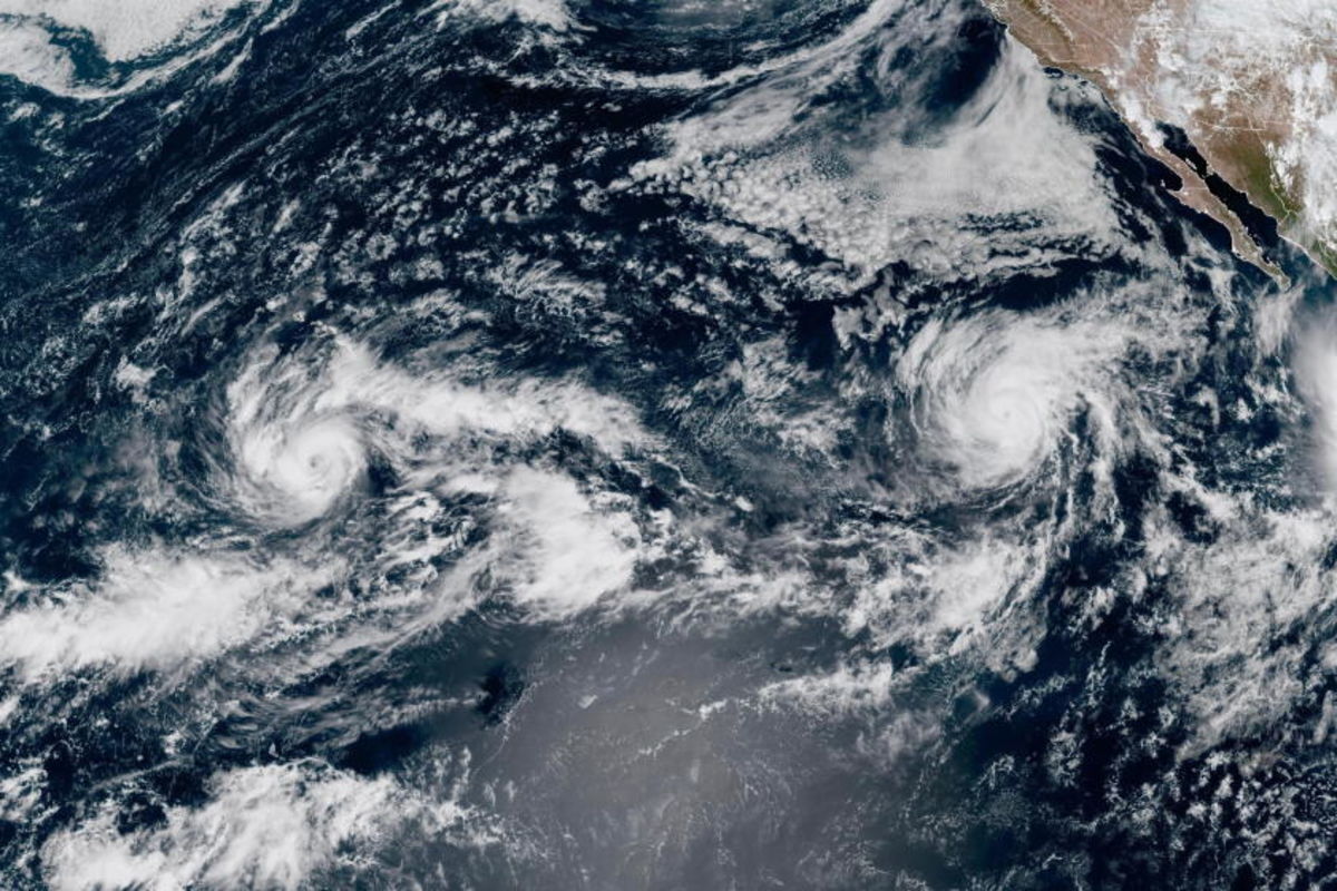
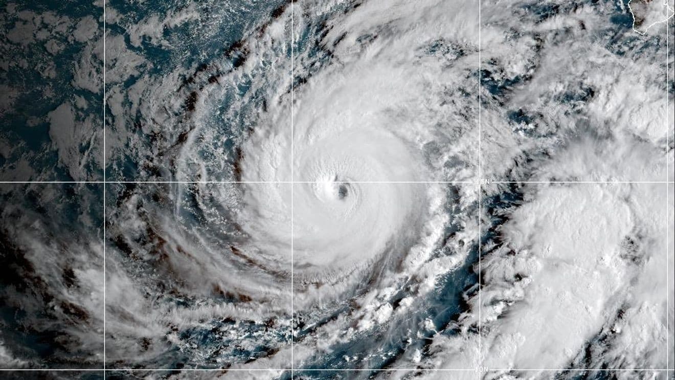
Hurricane Polo is forecast to send large swells toward Southern California from late Sunday into early next week, while swells from Hurricane Odalys may add to hazardous surf through Wednesday; neither storm is expected to make a direct hit on the state. South-facing beaches could see 4- to 7-foot surf, strong rip currents and high tides near 7 feet, creating a risk of coastal flooding, beach erosion and localized damage. San Diego, Orange and Los Angeles counties, including Avalon, Long Beach and Malibu, could be affected. The warning follows erosion, flooding and home damage from Hurricane Marie’s swells. Crews are reinforcing sand berms, setting up pumps and moving lifeguard stands, and Laguna Beach has declared a local emergency to speed coastal protections.
Key Points
1
Forecasters said surf-height estimates could vary by about 2 feet because of uncertainty about the hurricanes and their tracks. While a reasonable worst-case scenario could resemble Hurricane Marie’s impacts, the most likely outcome was expected to be less severe.
2
The National Weather Service said the roughly 7-foot high tides expected Monday and Tuesday could run nearly a foot above astronomical tides because of ongoing El Niño effects.
3
In Long Beach, crews were fortifying homes and strengthening the sand berm at the end of the peninsula; the previous hurricane damaged more than a dozen homes there.
4
San Diego County was forecast to see surf of 3 to 5 feet, with sets up to 6 feet, and high tides rising from 6 feet Sunday to 7 feet Monday through Wednesday. The storms were also expected to bring humidity and temperatures up to 10 degrees above normal over the weekend.
Sentiment
Mostly NegativeNEGATIVENEUTRALPOSITIVE
Publishers
19
Articles
111
Reach
130
Topics
A
AnonymousAuthor