Hurricane Polo Flood Impact
Hurricane Polo strikes Mexico before its remnants trigger severe flooding across New Mexico.
Anonymous
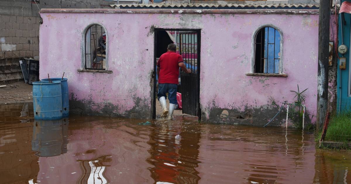
Hurricane Polo made landfall on Mexico’s Pacific coast as a Category 3 storm, bringing destructive winds, flooding and damage to homes, roads and other buildings. The storm later weakened to a tropical storm as it moved inland, with Mexican authorities reporting limited serious damage and no injuries in initial assessments, while warning that additional rain could trigger life-threatening flooding and mudslides. Polo’s remnants and a separate weather system then contributed to heavy rain and flash flooding in New Mexico, where flooded roads remained closed and forecasters warned of further runoff, rising rivers and a possible risk of slides on steep slopes. Flood concerns persisted in northern New Mexico and near saturated burn scars around Ruidoso, even as the broader forecast suggested drier weather after the immediate storm period.
Key Points
1
The U.S. National Hurricane Center said Polo came ashore late Monday in southern Baja California with winds reaching 175 kilometers (110 miles) per hour.
2
Las Barrancas, the fishing village crossed by Polo’s eye, was largely unreachable after floodwater caused a highway bridge to collapse.
3
Residents in several Baja California Sur towns, including Adolfo López Mateos and Puerto San Carlos, lost power; one resident described the wind as “terrifying” and said it sounded “like the devil was on the loose.”
4
New Mexico forecasters expected another 1 to 2 inches of rain across northern parts of the state, with isolated totals of 3 to 4 inches at higher elevations, and a river flood warning was in effect for the Pecos east of Santa Fe.
5
Flood warnings included inundated roads on State Road 246 west of Roswell and near Ruidoso in Lincoln County; forecasters characterized the possibility of storms triggering runoff on Ruidoso-area burn scars as low-confidence, but not impossible.
Sentiment
Mostly NegativeNEGATIVENEUTRALPOSITIVE
Publishers
27
Articles
210
Reach
237
A
AnonymousAuthor


