Incoming Weather System Brings Rain
New Low-Pressure System Expected to Bring Heavy Rain to Eastern India
Anonymous
Key Points
1
IMD-Amaravati scientist S. Karunasagar said most weather models suggest the system could strengthen into a depression, but its strength and track can be assessed only after the low-pressure area forms.
2
The IMD expects heavy rain in coastal Andhra Pradesh between September 19 and 21, followed by light to moderate rainfall through September 23; isolated wind speeds could reach 40–50 kmph on Sunday across coastal Andhra Pradesh, Yanam and Rayalaseema.
3
Kolkata had recorded rain on 15 of the first 18 days of the month, producing a monthly rainfall surplus of nearly 29%. The Regional Meteorological Centre said a trough extending from Sikkim to the north Bay of Bengal across Bangladesh was driving the ongoing thundershowers.
4
Andhra Pradesh disaster officials said a surface circulation was already present over coastal Andhra Pradesh and Rayalaseema at about 1.5 km above mean sea level, while another trough extended from interior Karnataka through Tamil Nadu to the Gulf of Mannar at about 0.9 km.
5
Several Andhra Pradesh locations received substantial rainfall before the new system formed: Routhulapudi recorded 68.6 mm by 6 p.m., Marripalem 54 mm, and D. Polavaram 48.5 mm. The state disaster authority advised residents to avoid open areas during lightning and remain alert for strong winds.
A low-pressure system is expected to form over the north Andaman Sea around September 19, 2026, after upper-air circulation from northern Thailand moves into the region. India Meteorological Department officials say the system could gradually intensify and travel west-northwest toward the coasts of southern Odisha and northern Andhra Pradesh over three to four days, bringing much-needed rain to areas facing rainfall deficits.
Whether the system becomes a cyclone remains unclear. IMD scientist S. Karunasagar said most weather models suggest it could strengthen into a depression, but its true strength and track will only become clear after formation. Heavy rain is forecast for coastal Andhra Pradesh between September 19 and 21, with wind speeds potentially reaching 40–50 kmph.
Upper-Air Circulation Fuels System Formation
The low-pressure area will form as upper-air circulation from northern Thailand moves into the north Andaman Sea. India Meteorological Department scientists have not yet determined the system's intensity or exact path. S. Karunasagar noted that most weather models point toward depression-level strengthening, but forecasts become more reliable only after the low-pressure area actually develops.
Heavy Rain Expected Across Coastal Andhra Pradesh
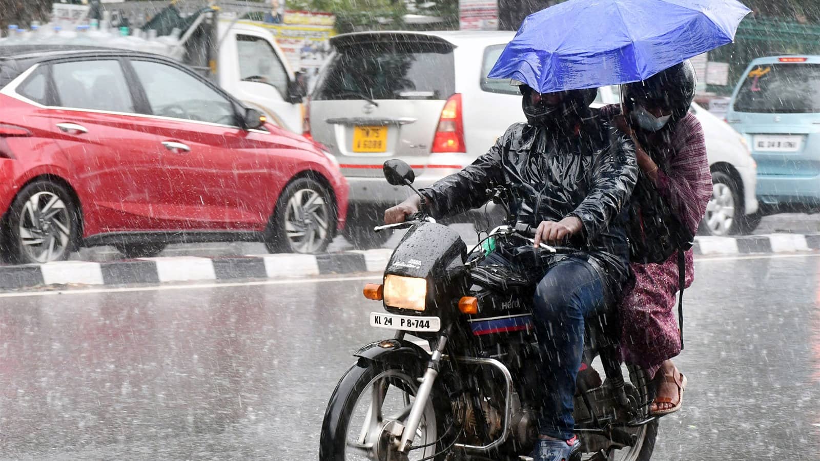
Coastal Andhra Pradesh will likely see heavy rain from September 19 to 21, followed by lighter showers through September 23. India Meteorological Department forecasts isolated wind gusts of 40–50 kmph on Sunday across coastal Andhra Pradesh, Yanam and Rayalaseema. Before the new system even forms, several locations have already recorded substantial rainfall: Routhulapudi received 68.6 mm by 6 p.m., Marripalem 54 mm, and D. Polavaram 48.5 mm.
Disaster Officials Warn of Lightning and Gusty Winds
Andhra Pradesh disaster authorities have urged residents to take precautions as the system approaches. Officials advised people to avoid open areas during lightning strikes and remain alert for strong winds. A surface circulation already exists over coastal Andhra Pradesh at about 1.5 km above mean sea level, with another trough extending from interior Karnataka through Tamil Nadu to the Gulf of Mannar.
Kolkata Already Sees Above-Normal September Rainfall
Kolkata recorded rain on 15 of the first 18 days of September, producing a monthly rainfall surplus of nearly 29%. Regional Meteorological Centre officials attributed the ongoing thundershowers to a trough extending from Sikkim to the north Bay of Bengal across Bangladesh. This pattern continues to fuel wet conditions across eastern India even before the new low-pressure system arrives.
Sentiment
Mostly NegativeNEGATIVENEUTRALPOSITIVE
Publishers
79
Articles
63
Reach
142
A
AnonymousAuthor


