Severe Storm Risks
Severe Storms and Tornado Risks Threaten Northwest Oklahoma With Damaging Winds
Anonymous
Key Points
1
KOCO reports the Thursday storm window is expected to last until about 7 p.m.; within the far-northwestern marginal-risk area, the tornado index is 2 out of 10 and damaging gusts could reach 60–70 mph.
2
Oklahoma City’s Thursday forecast calls for a high near 81°F, south winds of 10–13 mph and a 50% chance of showers and thunderstorms during the day, with a 40% precipitation chance Thursday night.
3
The weekend outlook describes a fast-moving cold front bringing Canadian air into the Northeast; forecasters expect most rain from Saturday into Sunday to stay south of Interstate 70, where heavy rainfall is possible.
4
The National Weather Service advises moving to a safe shelter when thunder is heard and remaining there for 30 minutes after the last thunderclap.
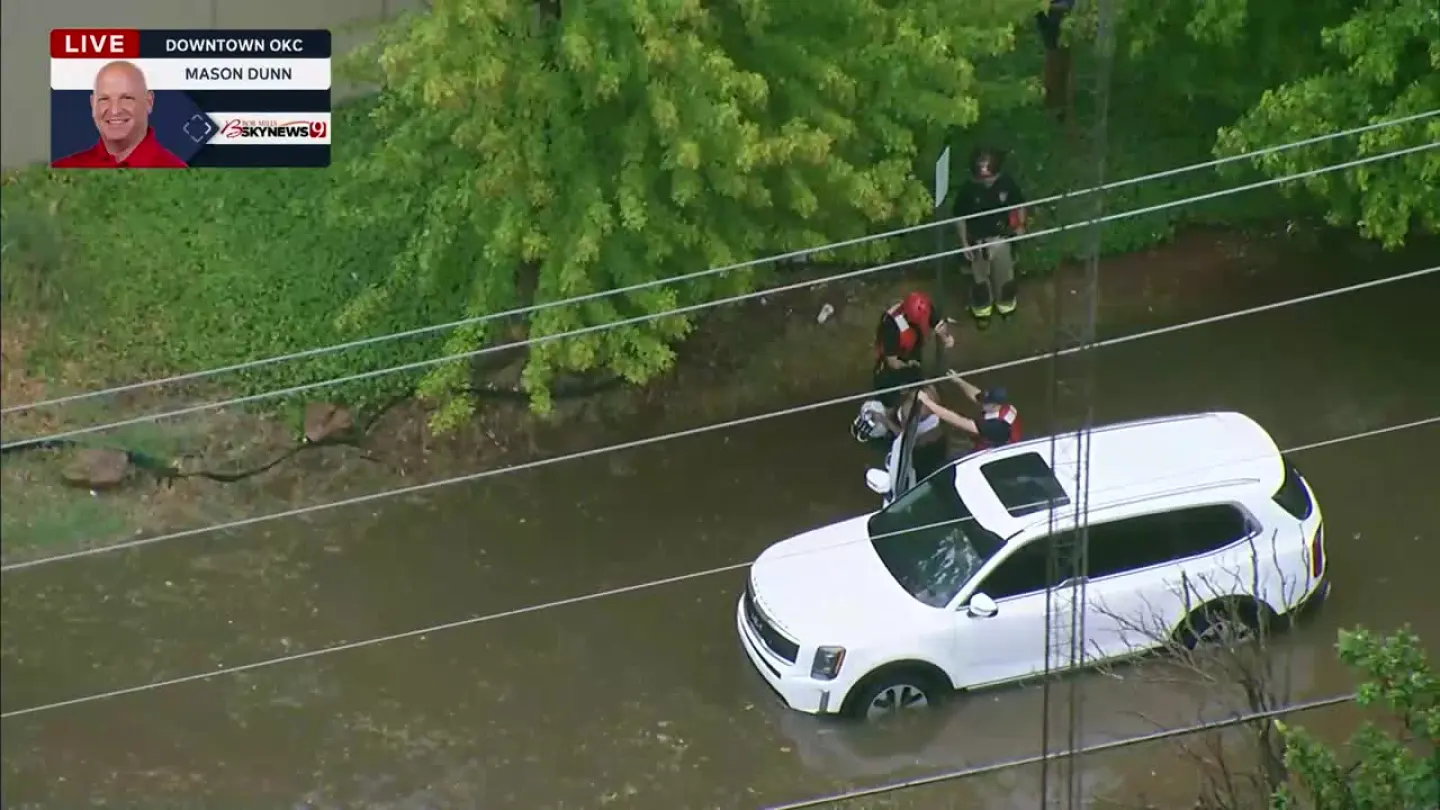
Oklahoma faces a day of scattered storms Thursday with a low but real threat of tornadoes in far northwestern areas near Woodward and Alva. KOCO reports the storm window will last until about 7 p.m., with damaging wind gusts potentially reaching 60–70 mph. Flash flooding poses the bigger danger across eastern and southeastern Oklahoma, while Oklahoma City's flood watch has expired.
The tornado threat carries a rating of just 2 out of 10 in the marginal-risk zone, but meteorologists urge residents to take shelter immediately when thunder sounds and remain inside for 30 minutes after the last rumble. Heavy rain and thunderstorms will spread from eastern Texas toward the Southeast and Mid-Atlantic through the weekend, with localized flooding most likely in low-lying areas.
Afternoon Storm Window Targets Northwestern Oklahoma
Showers and thunderstorms will develop across Oklahoma on Thursday afternoon, with the most dangerous conditions confined to far northwestern counties. KOCO forecasts the storm window will close around 7 p.m. The marginal severe risk means severe weather is possible but less likely than typical severe days. Damaging wind gusts of 60–70 mph represent the primary severe threat, while isolated tornadoes remain on the table.
Oklahoma City Weather Remains Unsettled but Less Severe
Oklahoma City will see a high near 81°F on Thursday with south winds of 10–13 mph and a 50% chance of showers and thunderstorms during the day. Hoodline reports the city's flood watch has expired, leaving no active hazardous-weather alerts. Rain chances drop to 40% Thursday night as the system moves through. The city sits outside the marginal severe-risk zone, though rain will still drench the area.
Flash Flooding Emerges as the Wider Regional Threat
Flash-flooding concerns extend across Oklahoma and grow more serious in eastern and southeastern portions of the state. National Weather Service officials stress that flooding, not tornadoes, represents the broader hazard across the region. Localized flooding will be most likely in low-lying and poorly drained areas. The National Weather Service advises moving to a safe shelter immediately when thunder is heard and remaining there for 30 minutes after the last thunderclap.
Heavy Rain and Storms Push Eastward Into the Weekend
A fast-moving cold front will bring Canadian air into the Northeast through Saturday and Sunday. Most heavy rain will stay south of Interstate 70, sweeping from eastern Texas toward the Southeast and Mid-Atlantic. Localized flooding will be the main concern in poorly drained areas along this corridor. Forecasters expect the system to move quickly, clearing the immediate Oklahoma area by Friday morning.
Sentiment
Mostly NegativeNEGATIVENEUTRALPOSITIVE
Publishers
27
Articles
2
Reach
29
Topics
A
AnonymousAuthor


