Weekend Storms and Cooling Trend
Unsettled Weather and Storms Are Spreading Across the Midwest, Southeast and Mid-Atlantic
Anonymous
Key Points
1
In eastern Iowa, Friday’s storm development is expected to begin in the north before spreading across more of the region Friday night; Saturday morning’s more widespread storms should depart, but scattered activity may occur at any time during the day.
2
The Iowa forecast calls for a sharp temperature contrast Friday: highs in the low to mid-60s north of U.S. Highway 20 versus the mid-70s to low 80s farther south, where humidity will be elevated with dew points in the upper 60s to mid-70s.
3
A stalled frontal system is expected to keep rain chances active into the beginning of next week, with Tuesday identified as the most likely day for widespread rain in the WVVA forecast area.
4
New Hampshire could see brisk northwest winds gusting 25 to 35 mph on Friday, followed by a chilly Friday night with lows in the 40s; the weekend is forecast to feature a sunny Saturday and much cooler highs in the 50s and 60s.
5
For the Boston area and Massachusetts, another shower chance is expected Thursday after clearing Monday and cool weather Tuesday and Wednesday; Friday’s high in Boston is forecast near 78 degrees.
Unsettled weather is spreading across the Midwest, Southeast, and Mid-Atlantic this weekend, with showers and thunderstorms developing Friday and intensifying Sunday. KCRG reports that storms will hit northern Iowa Friday before spreading south, while WCVB notes that New England will enjoy a drier Friday before rain returns Sunday. A stalled frontal system will keep rain chances active into early next week, with locally heavy rainfall expected in parts of Georgia and Pennsylvania.
Iowa Faces Sharp Temperature Split and Friday Storms
Eastern Iowa will experience a dramatic temperature divide Friday. KCRG forecasts highs in the low to mid-60s north of U.S. Highway 20, while areas south of the highway reach the mid-70s to low 80s. Humidity will surge in the south, with dew points climbing into the upper 60s to mid-70s. Storm development begins in the north Friday morning and spreads across the region Friday night.
Saturday morning's storms should depart, but scattered showers may pop up throughout the day. The worst of the activity exits by Saturday afternoon, making it the better day for outdoor plans across Iowa. Rain chances persist into Monday and Tuesday as a stalled front parks over the region.
New England Enjoys Crisp Friday Before Weekend Rain
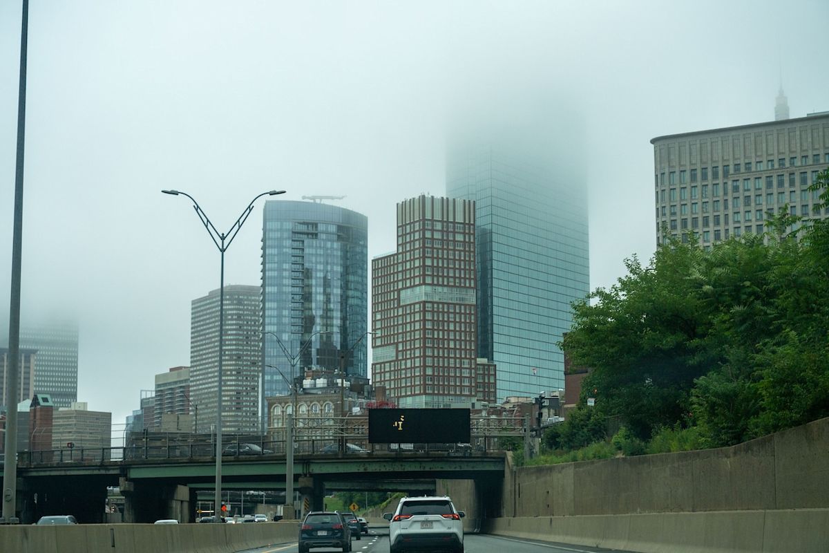
New Hampshire and Massachusetts turn drier and less humid Friday, with brisk northwest winds gusting 25 to 35 mph. WCVB reports Boston will reach near 78 degrees under clearing skies. Overnight lows in New Hampshire drop to the 40s Friday night, ushering in cooler air.
Saturday delivers the region's best weather: sunny skies with highs in the 50s and 60s. Rain returns Sunday as the broad system moves in. Monday and Tuesday will remain cool and cloudy with lingering showers before conditions gradually dry later in the week.
Stalled Front Brings Heavy Rain to Central Appalachians
A stalled frontal system will keep rain chances active across West Virginia and Virginia into early next week. WVVA identifies Tuesday as the most likely day for widespread rain across the forecast area. The system moves slowly, allowing moisture to build and heavy rainfall to develop.
Parts of Georgia and Pennsylvania face locally heavy rainfall Sunday through Tuesday as the slow-moving system interacts with moisture from the Gulf and Atlantic. Below-average temperatures and cloud cover will persist into Monday before gradual clearing begins. Rain in Pennsylvania may linger into Tuesday before the system finally weakens.
Saturday Offers Best Weekend Window Across Most Regions
Despite unsettled conditions bookending the weekend, Saturday provides the most favorable opportunity for outdoor activities across the Midwest, Southeast, and Mid-Atlantic. Morning storms in Iowa depart by afternoon, leaving only scattered, isolated showers. New England enjoys sunny, dry weather with comfortable temperatures in the 50s and 60s.
Sunday marks a dramatic shift as the broad rainfall system intensifies. Widespread thunderstorms will develop across the region, with the heaviest rain targeting Georgia and Pennsylvania. Cooler air follows the system into next week, with temperatures running below average across multiple states.
Sentiment
Mostly NegativeNEGATIVENEUTRALPOSITIVE
Publishers
26
Articles
12
Reach
38
A
AnonymousAuthor


