Tropical Storm Gonzalo Approaches Islands
Tropical Storm Gonzalo forms off western Africa and moves toward Cabo Verde Islands
Anonymous
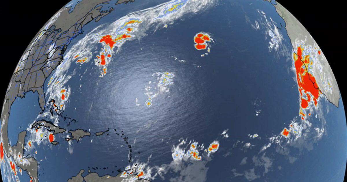
Tropical Storm Gonzalo formed off western Africa and is moving toward the Cabo Verde Islands, where tropical-storm warnings are in effect and conditions are expected. It has winds of about 45 to 50 mph and could bring 1 to 3 inches of rain to the eastern islands, with heavier rain possible along parts of the West African coast. Gonzalo is forecast to weaken this weekend and eventually become a remnant low over the Atlantic. Tropical Storm Fay, with winds around 50 mph, is weakening over open Atlantic waters and is expected to dissipate without threatening land. Neither storm is expected to affect Florida or the continental United States.
Key Points
1
Gonzalo developed from Invest 90L, a system the National Hurricane Center had designated earlier in the week.
2
Gonzalo has a brief opportunity to strengthen, but increasing wind shear, cooler ocean water and drier air are expected to weaken it over the weekend.
3
Fay had briefly weakened to a tropical depression before redeveloping into a tropical storm on Thursday; one report put its winds at 60 mph and its position about 1,000 miles west-southwest of the Azores.
4
The Atlantic season had recorded no hurricanes at that point, and was described as having its quietest start in the satellite era, which began in 1966.
Sentiment
Mostly NegativeNEGATIVENEUTRALPOSITIVE
Publishers
33
Articles
103
Reach
136
Topics
A
AnonymousAuthor


