Regional Weather and Foliage Update
Fall foliage returns to typical schedules across regions amid varied autumn weather patterns.
Anonymous
Key Points
1
September ranked around the 90th percentile among the warmest Septembers in upper East Tennessee since 1979. ETSU said the recent rain and cooler temperatures improved the outlook from a week earlier, when foliage appeared likely to run about a week behind schedule.
2
Boston’s forecast called for particularly cold midweek mornings: inland temperatures were expected to fall into the upper 30s and low 40s Tuesday, then the mid to upper 30s Wednesday.
3
West Michigan was forecast to receive about 0.50 to 1.0 inch of rain by the time showers ended Friday morning.
4
In the Seattle area, the incoming system could bring about a half-inch of rain and peak gusts of 25 to 35 mph. A wind advisory covered the San Juan Islands and western Whatcom County, while the coast and mountains could see up to 3 inches of rain.
Fall is arriving on schedule across much of the United States after recent rain and cooler air brought relief to regions that feared delayed color changes. East Tennessee State University reported that early October conditions have pushed East Tennessee's foliage back to its typical timeline, with peak color expected from mid-October into early November. Meanwhile, Boston, West Michigan, and the Pacific Northwest face a mix of wet weather and cool temperatures over the next several days, setting the stage for classic autumn conditions.
September proved unusually warm across much of the country, ranking around the 90th percentile for warmth in upper East Tennessee since 1979. Click on Detroit noted that comfortable early October weather has now settled in, with afternoon temperatures in the mid-60s providing relief from the summer heat. The shift comes as a weak weather system brings scattered showers and wind gusts across multiple regions.
East Tennessee Foliage Returns to Normal Pace
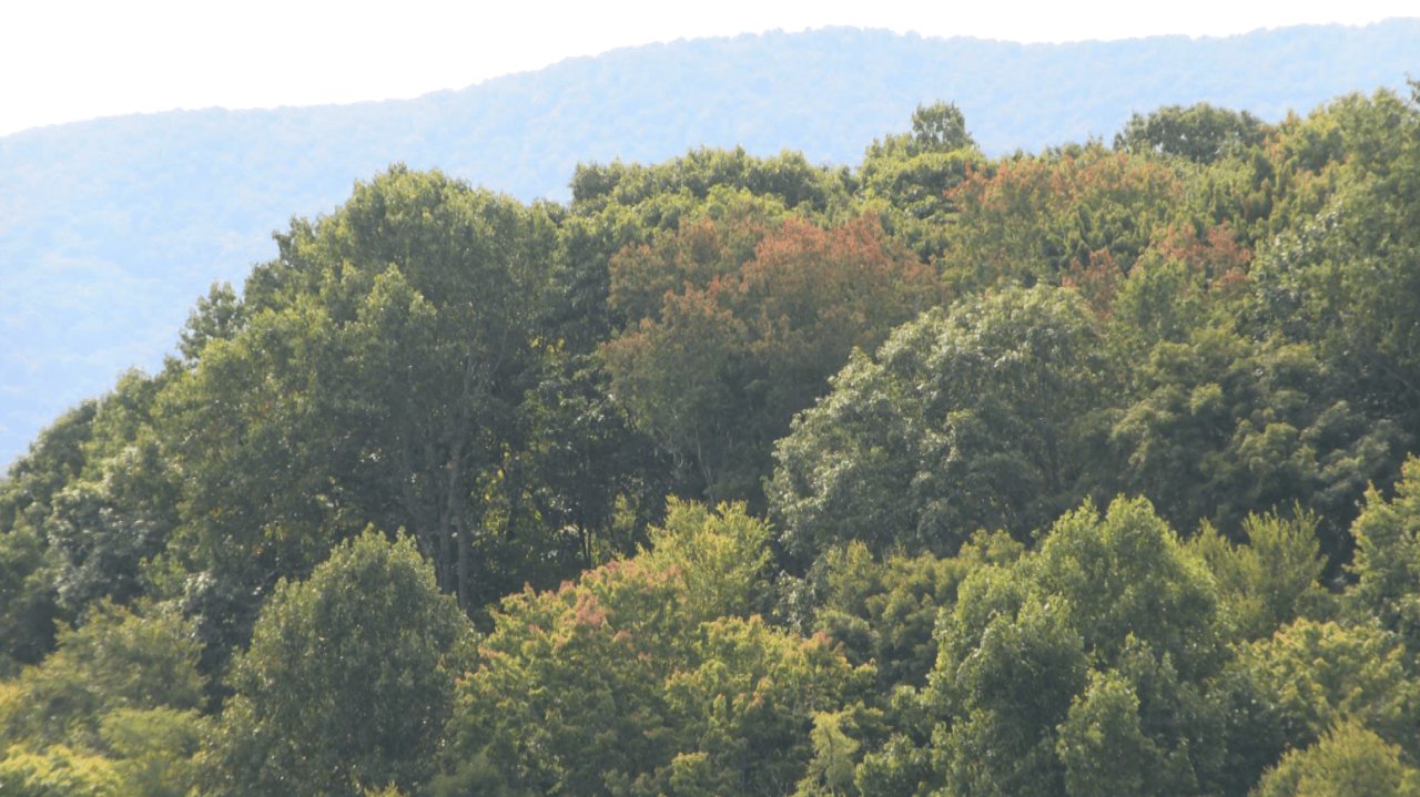
ETSU fall color experts confirm that recent rainfall and cooler temperatures have restored fall foliage to a near-typical schedule. A week earlier, forecasters worried the season would run about seven days behind schedule due to prolonged warm conditions. High elevations are already showing color, with mid-elevation peaks expected from mid-October into early November. The turnaround hinged on breaking the warm pattern that dominated September.
Boston Braces for Cold Mornings and Scattered Showers
Boston's forecast calls for a significant temperature drop midweek. WHDH reported that inland areas will see Tuesday lows in the upper 30s and low 40s, with Wednesday dipping into the mid to upper 30s. Scattered showers will persist through the week before clearing into a sunny, mostly pleasant period. Evening temperatures will settle into the low 50s to 70s depending on location.
West Michigan Faces Rain Before Cooler, Drier Air Arrives
Wood TV forecasts several wet days ahead for West Michigan, with showers expected to continue through Friday morning. The region will receive approximately 0.50 to 1.0 inch of rain before conditions improve. High temperatures are forecast in the mid-60s, while overnight readings will remain cool. Once the rain clears, drier and cooler weather will settle in for the weekend and beyond.
Pacific Northwest Gets Wind, Rain, Then Weekend Warmth
A weak frontal system is bringing clouds, light rain, and breezy conditions to the Pacific Northwest, with the heaviest impacts near the coast and north of Seattle. The Seattle area could see about a half-inch of rain with wind gusts peaking at 25 to 35 mph, prompting wind advisories for the San Juan Islands and western Whatcom County. The coast and mountains could receive up to 3 inches of rain. Sunshine and warmer weekend temperatures will follow once the system moves through.
Sentiment
Mostly NegativeNEGATIVENEUTRALPOSITIVE
Publishers
24
Articles
13
Reach
37
A
AnonymousAuthor


