Severe Heat and Coastal Hazards
Dangerous Heat Persists Across the South While Gulf Coast Faces Hazardous Marine Conditions
Anonymous
Key Points
1
A stalled frontal boundary is keeping the main storm track and cooler air north of St. Louis, while overnight heavy rain has raised flooding concerns from Moberly, Missouri, to Springfield, Illinois, and points north.
2
The Mobile area should see noticeably cooler overnight conditions as drier air moves in, with temperatures falling into the lower 70s Wednesday night and potentially the upper 60s inland Thursday night.
3
Along the Alabama coast, offshore winds could reach 20–25 knots with higher gusts and seas of 4–7 feet, prompting warnings that conditions are unsuitable for inexperienced swimmers and smaller boats.
4
Across the Southeast, heat-index values could reach 100–108 degrees, with the highest readings most likely in Florida counties, before easing somewhat Wednesday as humidity declines.
5
A backdoor cold front is expected to bring stronger northeast-to-east winds into the Southeast from Tuesday through Thursday, rather than the usual west or northwest direction.
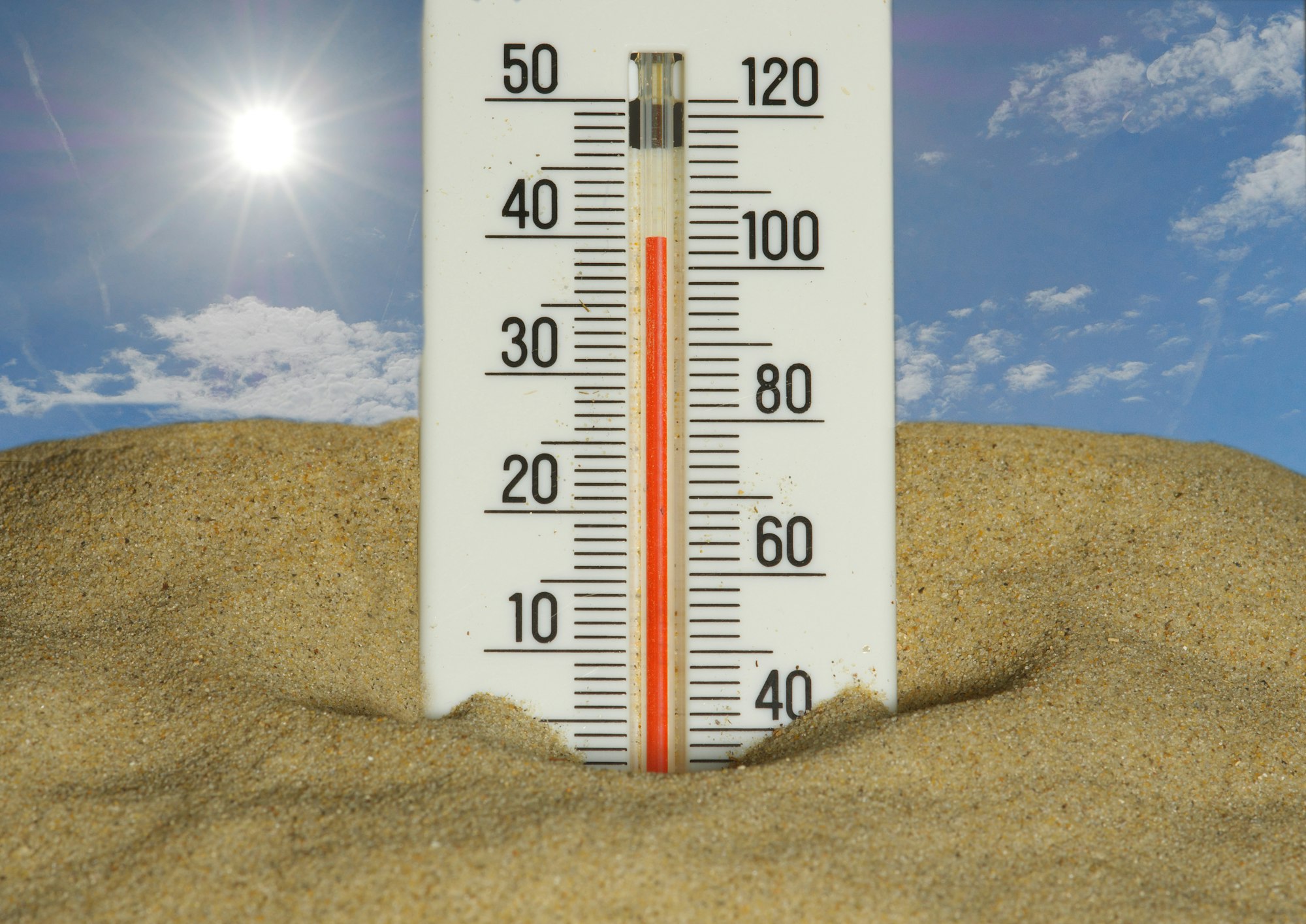
Dangerous heat is gripping the South and Midwest this week, with afternoon temperatures climbing into the 90s and some areas nearing 100 degrees. Fox 2 Now reports that St. Louis will see highs in the mid-90s through Saturday, with heat indices reaching 100–105 degrees and a Heat Advisory in effect through Friday south of Interstate 70. Meanwhile, the Gulf Coast faces a different threat: rough surf, strong winds and high rip currents are expected along the Alabama coast as offshore winds gust to 20–25 knots.
A stalled weather front is keeping cooler air and rain north of the St. Louis area, while the intense heat shows no signs of breaking for the next few days. Forward Kentucky notes that this summer was already the hottest on record for the contiguous U.S., raising concerns about the health impacts of yet another heat wave. No tropical storms are expected to develop in the Atlantic, Caribbean or Gulf of Mexico in the near term.
St. Louis Faces Dangerous Heat Through the Week
The St. Louis area will stay hot and humid from now through Saturday, with afternoon highs in the mid-90s and heat index values climbing to 100–105 degrees. Fox 2 Now issued a Heat Advisory for areas south of Interstate 70 through Friday afternoon. The stalled frontal boundary is keeping the main storm track well to the north, which means cooler air and relief remain out of reach for residents in the region.
Heavy rain fell overnight in some areas from Moberly, Missouri, to Springfield, Illinois, and points north, raising flooding concerns in those communities. However, inland rain chances stay mostly low through Friday, giving the St. Louis metro area little relief from the heat. Conditions should shift slightly as a backdoor cold front approaches from the northeast later in the week.
Gulf Coast Braces for Rough Seas and Strong Winds
The Alabama coast faces hazardous boating conditions this week as offshore winds strengthen and seas build. Wdam reports that winds could reach 20–25 knots with higher gusts, while seas are expected to reach 4–7 feet. High rip-current risks and rough surf will make conditions unsuitable for inexperienced swimmers and smaller boats through at least midweek.
A backdoor cold front moving in from the northeast is driving the stronger easterly winds. This unusual wind direction — typically storms bring west or northwest winds — will persist from Tuesday through Thursday. Mobile and surrounding areas should see noticeably cooler overnight conditions as drier air moves in, with temperatures dropping into the lower 70s Wednesday night and upper 60s inland Thursday night.
Heat Index Could Exceed 105 Degrees Across Southeast
The Southeast will experience some of the most extreme heat-index values this week, with readings potentially reaching 100–108 degrees. Valley Center documented how California experienced similar extremes last week when Escondido hit 112 degrees — the hottest day in recorded history for that city. Florida counties are expected to see the highest readings, particularly in the Tampa Bay and Miami areas.
Heat index values will ease somewhat on Wednesday as humidity declines and the backdoor cold front approaches. However, Texas and the Gulf Coast will remain hot and humid through the week, with elevated fire-weather conditions possible near Laredo. Isolated storms and flooding remain possible farther north as the frontal system moves through, but no significant organized storm system is expected.
Sentiment
Mostly NegativeNEGATIVENEUTRALPOSITIVE
Publishers
22
Articles
25
Reach
47
A
AnonymousAuthor


