Drier Air to Bring Relief After South Heat
Drier Air to Bring Relief After South Heat
Anonymous
Key Points
1
The 62-day dry streak at DFW Airport is tied for the third-longest consecutive period without measurable rain on record, while gusty winds west of Interstate 35 are expected to increase fire danger.
2
A heat advisory remains in effect for the Dallas-Fort Worth area through 8 p.m. Wednesday, with heat-index values potentially reaching 106 degrees.
3
Atlanta has designated Friday as a First Alert Weather Day because scattered afternoon and evening storms are expected to bring the week’s first significant rain chance to north Georgia.
4
Along the central Gulf Coast, an isolated storm could develop after 1 p.m. Tuesday near the shoreline as the sea breeze moves inland, but most of the area is expected to remain dry.
5
In the Midlands, dew points are forecast to fall into the 50s and 60s by Wednesday, with overnight lows reaching the mid-60s Wednesday and Thursday mornings as drier air settles in.
The South faces one more day of oppressive heat Wednesday before drier air brings relief. North Texas has now gone 62 consecutive days without measurable rain—tied for the third-longest dry streak on record—while heat indexes are expected to reach 106 degrees in the Dallas-Fort Worth area KSLA. A weak cool front will push drier air into the region from Wednesday through Friday, lowering humidity and allowing overnight temperatures to drop into the comfortable range for the first time in weeks.
Atlanta has declared Friday a First Alert Weather Day WENG, as scattered afternoon storms finally bring the week's first meaningful rain chance to north Georgia. Along the coast, isolated storms could develop near Alabama's shoreline Tuesday afternoon, while easterly winds will generate 4- to 5-foot surf and dangerous rip currents Wednesday and Thursday KSLA.
62-Day Dry Streak and Record Heat in Texas
Dallas-Fort Worth Airport has now recorded 62 consecutive days without measurable rain KSLA. This ties the third-longest such streak in the station's history. Gusty winds west of Interstate 35 will increase fire danger Wednesday, while a heat advisory remains in effect through 8 p.m. Wednesday, with heat indexes potentially reaching 106 degrees KSLA.
The region is also on pace for its 52nd day at or above 100 degrees this year. The combination of extreme heat, record dryness, and high winds creates dangerous conditions for wildfires across north-central Texas through Wednesday evening.
Humidity Drops as Drier Air Moves In
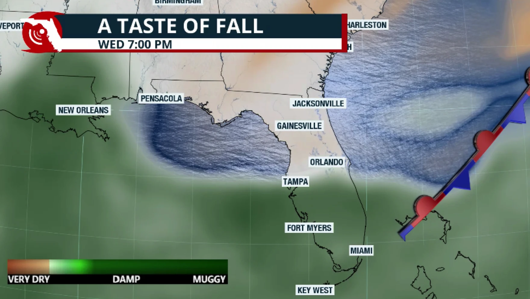
A weak backdoor front will usher in noticeably drier air from Wednesday through Friday. In the Midlands, dew points will plummet into the 50s and 60s by Wednesday KSLA, while overnight lows will dip into the mid-60s Wednesday and Thursday mornings WENG. This marks the first substantial relief from oppressive humidity after weeks of intense heat.
Atlanta, Alabama, and the Carolinas will remain mostly sunny and dry through midweek. Afternoons will still be warm, but the lower humidity will make conditions feel far more comfortable than the stifling heat of recent days.
Rain Returns This Weekend and into Next Week
Moisture will begin returning over the weekend, bringing isolated to scattered showers and thunderstorms across Georgia, Alabama, and the Midlands KSLA. Atlanta has designated Friday as a First Alert Weather Day because afternoon and evening storms are expected to deliver the week's most significant rain chance to north Georgia WENG.
A stronger cold front will move through early next week with the potential for more organized storms. Along the central Gulf Coast, an isolated storm could develop Tuesday afternoon near the shoreline as the sea breeze pushes inland, but most of the area is expected to stay dry KSLA.
Coastal Hazards From Strengthening Easterly Winds
Along the Alabama coast, strengthening easterly winds will produce 4- to 5-foot surf Wednesday and Thursday KSLA. Rip-current danger will be elevated during this period, posing a serious hazard for beachgoers. Swimmers should exercise extreme caution or stay out of the water entirely during these two days.
Sentiment
Mostly PositiveNEGATIVENEUTRALPOSITIVE
Publishers
23
Articles
3
Reach
26
A
AnonymousAuthor


