El Niño Drives Record-Late Atlantic Hurricane Start
El Niño Drives Record-Late Atlantic Hurricane Start
Anonymous
Key Points
1
NOAA recorded just 4.4 units of Accumulated Cyclone Energy through Sept. 10, roughly 92% below the 1991–2020 benchmark for that point in the season.
2
The season’s five named storms were Arthur, Bertha, Cristobal, Dolly and Edouard; each reached tropical-storm strength but failed to become a hurricane.
3
NOAA identifies Sept. 10 as the climatological peak of the Atlantic hurricane season, while most seasonal activity typically occurs between mid-August and mid-October.
4
Colorado State University’s 2026 annual hurricane report had projected that nine named storms would form in the Atlantic basin.
5
Meteorologist Nick Novella said pre-1950 records showing similarly late or absent hurricanes are considered unreliable because ocean-monitoring systems were incomplete before the satellite era.
The 2026 Atlantic hurricane season reached its peak on September 10 without producing a single hurricane, setting a satellite-era record Newsweek. Five tropical storms formed — Arthur, Bertha, Cristobal, Dolly and Edouard — but none strengthened into hurricanes. Overall Atlantic activity sits at just 7% of normal, with Accumulated Cyclone Energy about 92% below the 1991–2020 average Savannah Now.
A powerful El Niño is the culprit, suppressing Atlantic storms through stronger wind shear, dry air, and sinking air The State. Meanwhile, the same pattern is fueling above-normal activity in the eastern Pacific. Experts warn the quiet season offers no guarantee of safety — a single late-forming hurricane could still strike with catastrophic force, as Hurricane Andrew did in 1992 Island Packet.
Five Storms, But No Hurricanes Yet
Arthur, Bertha, Cristobal, Dolly and Edouard all reached tropical-storm strength. None crossed the hurricane threshold. Colorado State University had predicted nine named storms for the 2026 season, but the real count is running far below forecast. Through September 10, the season reached its climatological peak — the date when Atlantic hurricane activity typically peaks Savannah Now.
Accumulated Cyclone Energy, a measure that blends storm frequency and intensity, stood at just 4.4 units through September 10. The 1991–2020 average for that date is roughly 56 units. This 92% shortfall ranks among the most dramatic departures from normal in modern records. Most seasonal activity typically occurs between mid-August and mid-October The State.
El Niño Suppresses Atlantic Storms
El Niño — a naturally occurring climate pattern of warming Pacific waters — creates conditions hostile to Atlantic hurricane development The State. It strengthens wind shear, the change in wind speed and direction with altitude. It also introduces dry air and sinking motion into the Atlantic basin. These three factors work together to choke off storm formation Island Packet.
The same El Niño pattern is channeling energy eastward into the Pacific Ocean. Numerous named storms and hurricanes have already formed there, shifting the risk geography across the entire Western Hemisphere. Atlantic waters remain relatively warm and favorable — but the large-scale atmospheric steering continues to stifle local development Newsweek.
One Late Storm Could Still Bring Catastrophe
The record-late start does not mean the Atlantic is safe. A single powerful hurricane forming in late September, October or November could strike with devastating force. Hurricane Andrew hit South Florida in August 1992 as an unpredicted storm that caused $27 billion in damage — catastrophic harm from just one system Island Packet. History shows late-season hurricanes can pack equal power.
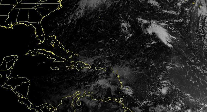
The National Hurricane Center is monitoring a cluster of showers and thunderstorms near Bermuda that could produce the season's first hurricane AOL. Even as the broader season remains exceptionally quiet, residents across the Atlantic basin should continue tracking forecasts through November 30, when the official season ends. One storm can change everything Newsweek.
Sentiment
Mostly NegativeNEGATIVENEUTRALPOSITIVE
Publishers
22
Articles
84
Reach
106
A
AnonymousAuthor


