Multi-State Flood Threat
Severe Flooding Threat Spans From Texas to the Midwest Amid Heavy Rains
Anonymous
Key Points
1
The heaviest North Texas downpours were forecast between 5 and 9 a.m., with localized flash-flooding risk greatest west of Interstate 35.
2
The National Weather Service issued a separate flood advisory for Parker County until 9 a.m. Thursday, warning that excessive rainfall could cause water over roads and minor flooding in low-lying and poorly drained areas.
3
A Wednesday-night advisory for Wise, Jack, Montague and Young counties warned of dangerous flows over low-water crossings and elevated river or stream flows, and urged extra caution after dark when flood hazards are harder to see.
4
In Lancaster County, rainfall was forecast to reach about 4 inches in most areas through Thursday evening, with 5 to 6 inches possible in some spots; the county planned to monitor roads and close any that became unsafe.
5
The State Fair of Texas planned to remain open in rain, though severe weather could affect some outdoor activities; indoor and covered attractions would be available.
Intense rain from Hurricane Polo's remnants threatens North Texas and the Midwest with flash flooding from Thursday through Friday. The heaviest downpours are expected between 5 and 9 a.m. Thursday in North Texas, with localized totals reaching 8 inches in parts of South Texas and the Laredo area National Weather Service.
Dangerous flooding is also forecast across Missouri and Kansas, where minor to moderate flooding is expected along the Missouri River near Napoleon, the Platte River near Platte City, and Stranger Creek near Easton National Weather Service. Officials urge people to avoid flooded roads, as water over roads poses extreme danger, especially at night.
North Texas Faces Peak Rainfall During Morning Commute
North Texas faces its greatest flood danger Thursday morning when the heaviest rain hits between 5 and 9 a.m., according to WFAA. Areas west of Interstate 35 face the highest risk of localized flash flooding. The National Weather Service issued separate flood advisories for Parker County through 9 a.m. and for Collin and Dallas counties through Thursday afternoon Star-Telegram.
The North Texas flood watch remains in effect into Friday morning at 7 a.m. WFAA. Isolated strong winds or brief tornadoes are also possible. Transportation crews in the Dallas-Fort Worth area are preparing for potential road closures and detours, and officials strongly warn against driving through flooded areas.
South Texas Braces for 8 Inches as Tropical Moisture Stalls
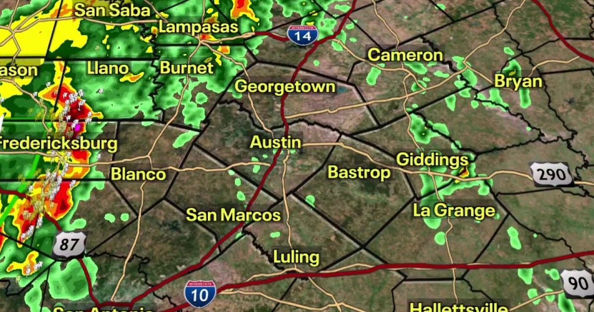
South and Central Texas, including the Laredo area, are under flood watches from Thursday morning through Friday evening Fox 7 Austin. Moisture from Hurricane Polo's remnants combined with a slow-moving cold front is delivering several inches of rain across the region. Isolated rainfall totals could reach 8 inches in parts of South Texas.
Lancaster County, Nebraska, expects about 4 inches of rain with some spots receiving 5 to 6 inches through Thursday evening Summary. County officials are monitoring roads and preparing to close any that become unsafe. The system is delivering dangerous flows over low-water crossings throughout the region.
Missouri and Kansas River Flooding Expected Through Early October
The National Weather Service issued river flood warnings for three waterways across Missouri and Kansas National Weather Service. Stranger Creek near Easton, Kansas, will see moderate flooding through Saturday morning. The Platte River near Platte City, Missouri, will experience minor flooding starting Saturday night.
The Missouri River near Napoleon is forecast to flood through October 7 National Weather Service. These prolonged warnings reflect how slowly the moisture-laden system is moving across the region. Low-lying areas near these rivers should prepare for water overflow onto adjacent land and potential erosion.
State Fair of Texas Plans Indoor Pivot if Severe Weather Arrives
The State Fair of Texas announced it will remain open during the rain, though severe weather could affect some outdoor activities Summary. Organizers are shifting crowd activities to indoor and covered attractions during peak storm windows. Most fairgoers will have shelter options available.
Sentiment
Mostly NegativeNEGATIVENEUTRALPOSITIVE
Publishers
31
Articles
29
Reach
60
Topics
A
AnonymousAuthor


