Cool Weekend Weather
Cool and Cloudy Weekend Forecast Brings Rain and Fog Across the Region
Anonymous
Key Points
1
Dense fog advisories were issued for central and parts of eastern KELOLAND, where visibility was expected to fall below a half-mile at times before improving during the afternoon.
2
Western South Dakota was expected to receive widespread rain Friday night, with rain continuing there into Saturday, while eastern areas saw pockets of drizzle.
3
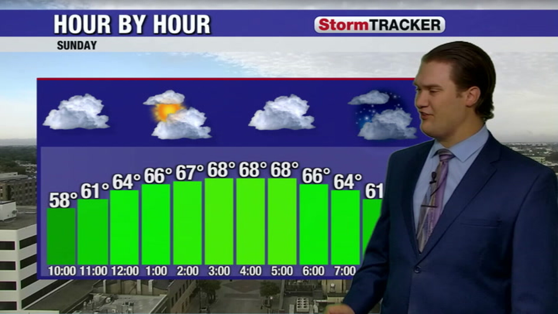
The weekend forecast called for below-average highs in the low 60s, with a northwest wind making conditions feel even colder; Monday was expected to reach only the upper 50s before sunshine and mid-60s returned Wednesday.
4
The pattern was expected to remain active into next week, bringing additional chances for rain before temperatures gradually returned to their climate averages by the end of the week.
A cool, cloudy weekend is settling across the Upper Midwest and Northern Plains, with temperatures stuck in the low 60s and northwest winds making it feel even colder. National Weather Service officials issued dense fog advisories for central and eastern KELOLAND on Saturday, with visibility dropping below half a mile before conditions improved by afternoon. Western South Dakota faces the best chance for rain, while eastern areas will see scattered drizzle and patchy fog.
The cool pattern will persist into next week, with highs reaching only the upper 50s on Monday before a gradual warmup begins mid-week. Minnesota Public Radio reports that mostly cloudy skies and occasional light rain will continue through the week, with temperatures expected to return to normal by Friday when some areas may see highs in the 70s.
Dense Fog Blankets Central South Dakota Saturday
Saturday morning brought dangerous driving conditions as thick fog rolled across central and eastern KELOLAND. Inforum reported that visibility dropped below half a mile at times, forcing the National Weather Service to issue dense fog advisories. Drivers faced sudden white-out conditions on highways as moisture trapped near the ground created hazardous travel. The fog lingered into mid-morning before afternoon mixing finally burned off the densest patches.
Western South Dakota Gets Widespread Rain Friday Night
Friday night brought much-needed moisture to western South Dakota, with widespread rainfall developing across the region. Western areas received rain that continued into Saturday, with some localized accumulation zones picking up more than half an inch. Eastern South Dakota, by contrast, saw only scattered pockets of drizzle and light sprinkles, providing minimal relief from recent dry conditions.
Northwest Winds Make Saturday Feel Frigid
Below-average temperatures combined with brisk northwest winds created a bone-chilling weekend across the region. Saturday highs barely climbed into the low 60s, while the wind made conditions feel several degrees colder. Sunday saw similar cold, and Monday dropped even further with highs stuck in the upper 50s. KELOLAND meteorologists warned residents to bundle up and adjust outdoor plans accordingly.
Gradual Warmup Arrives Mid-Week With Sunshine
Relief comes mid-week as a warming trend takes hold. Partly cloudy skies and mid-60s temperatures return by Wednesday, followed by additional sunshine as the pattern stabilizes. Some forecasts show highs climbing into the low 70s by Friday as temperatures finally return to normal seasonal levels. The active weather pattern should ease, though occasional chances for rain may linger early in the week.
Sentiment
Mostly NegativeNEGATIVENEUTRALPOSITIVE
Publishers
26
Articles
13
Reach
39
Topics
A
AnonymousAuthor


