Weekend Storms and Flood Risks
Weekend Storms Bring Flash Flood Threats to the Northeast and Relief to South Dakota
Anonymous
Key Points
1
AccuWeather meteorologist Tyler Roys warned that communities affected by flooding the previous weekend could face another round, saying saturated ground and repeated downpours may quickly overwhelm storm drains, roads, underpasses and low-lying areas.
2
New Jersey could experience rainfall rates of 1 to 2 inches per hour during the heaviest downpours, with rain becoming more widespread from early to midafternoon Sunday and continuing overnight into early Monday.
3
In New York’s Metro region, precipitable-water values near 2 inches and strong warm-air advection could produce especially heavy rainfall Sunday afternoon and evening; the Weather Prediction Center placed much of the area at slight risk for excessive rainfall.
4
Forecast rainfall totals vary across New York: the Capitol Region is expected to receive about 0.25 to 1.5 inches, locally up to 2 inches near I-84, while Central New York and the Southern Tier could receive 0.5 to 2 inches, with the heaviest amounts near northeastern Pennsylvania and the southern Catskills.
5
The New York forecast indicates that flash-flooding concerns are not uniform statewide: the Metro region faces isolated to scattered flash flooding, while forecasters said flooding was not a significant concern in the Capitol Region despite expected rain.
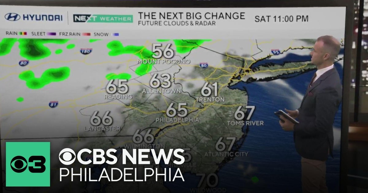
The Philadelphia and New Jersey region will enjoy a pleasant Saturday with partly sunny skies and low-to-mid 70s temperatures, but a major storm system will arrive late Saturday night into Sunday NBC Philadelphia, bringing 1 to 2.5 inches of rain and widespread flash-flooding threats NJ.com. Heavy downpours could hit New Jersey at rates of 1 to 2 inches per hour on Sunday afternoon, with the worst weather expected Sunday evening into early Monday CBS News. Communities that flooded last weekend face a dangerous second round, as saturated ground and poor drainage will quickly overwhelm storm drains and low-lying areas AccuWeather.
Western South Dakota will see cooler, wetter conditions from Thursday through Monday, with rain and occasional strong storms bringing relief to drought and fire-prone areas WXII12. Temperatures across the region will stay mainly in the upper 60s and low 70s, well below the typical late-summer heat.
A Window of Pleasant Weather Before Sunday's Storm
Friday will bring relief across the Northeast with cooler, drier conditions and clearing skies NBC Philadelphia. Saturday shapes up to be the week's best day—partly to mostly sunny with a pleasant breeze and highs in the low to mid-70s, making it an ideal day to be outdoors before conditions deteriorate.
High pressure will dominate through Saturday morning, keeping rain at bay and humidity levels comfortable CBS News. This window closes late Saturday night as a warm front and storm system move in from the south, ending the pleasant stretch and triggering a wet, unsettled pattern expected to last through at least Monday.
Heavy Rain and Dangerous Flash Flooding Expected Sunday
A powerful storm system will bring widespread rain beginning late Saturday night or early Sunday, with the heaviest precipitation Sunday afternoon and evening NJ.com. Rainfall rates in New Jersey could reach 1 to 2 inches per hour during the strongest downpours, creating severe localized flooding threats CBS News. Total rainfall amounts are expected to range from 1 to 2.5 inches across the region, with localized amounts higher in favored zones.
The Weather Prediction Center has placed much of New York's Metro region at slight risk for excessive rainfall due to high atmospheric moisture and strong warm-air advection NBC Philadelphia. Flash-flooding concerns are not uniform statewide—the Metro region faces isolated to scattered flash flooding, while forecasters said flooding was not a significant concern in the Capitol Region despite expected rainfall of 0.25 to 1.5 inches.
Communities Face Repeated Flooding from Saturated Ground
AccuWeather meteorologist Tyler Roys warned that areas affected by flooding the previous weekend could face another damaging round AccuWeather. Saturated ground and repeated downpours will quickly overwhelm storm drains, roads, underpasses and low-lying areas, creating dangerous conditions for residents and drivers. Ground that is already waterlogged from last weekend's storms cannot absorb more rainfall efficiently, dramatically increasing flood risk.
Rain will become more widespread across New Jersey from early to midafternoon Sunday and continue overnight into early Monday morning CBS News. The extended wet pattern will persist into at least the first half of next week, with cooler-than-average temperatures and additional rain chances keeping conditions unsettled for days.
South Dakota's Cool, Wet Pattern Brings Drought Relief
While the Northeast faces flooding threats, western South Dakota will benefit from a cooler, wetter stretch from Thursday through Monday WXII12. Rain and occasional stronger storms are expected to move through the region, providing much-needed moisture to drought-stricken areas and reducing wildfire concerns. Temperatures will stay mainly in the upper 60s and low 70s, significantly cooler than typical late-summer conditions.
The combination of rain and below-average temperatures will help ease fire danger that has been a concern heading into fall. This multi-day wet pattern should provide meaningful relief for drier regions across western parts of the state.
Sentiment
Mostly NegativeNEGATIVENEUTRALPOSITIVE
Publishers
23
Articles
6
Reach
29
Topics
A
AnonymousAuthor


