Hidden Polar Landscapes Discovered
New Mapping Techniques Reveal Ancient Landscapes Hidden Beneath Polar Ice
Anonymous
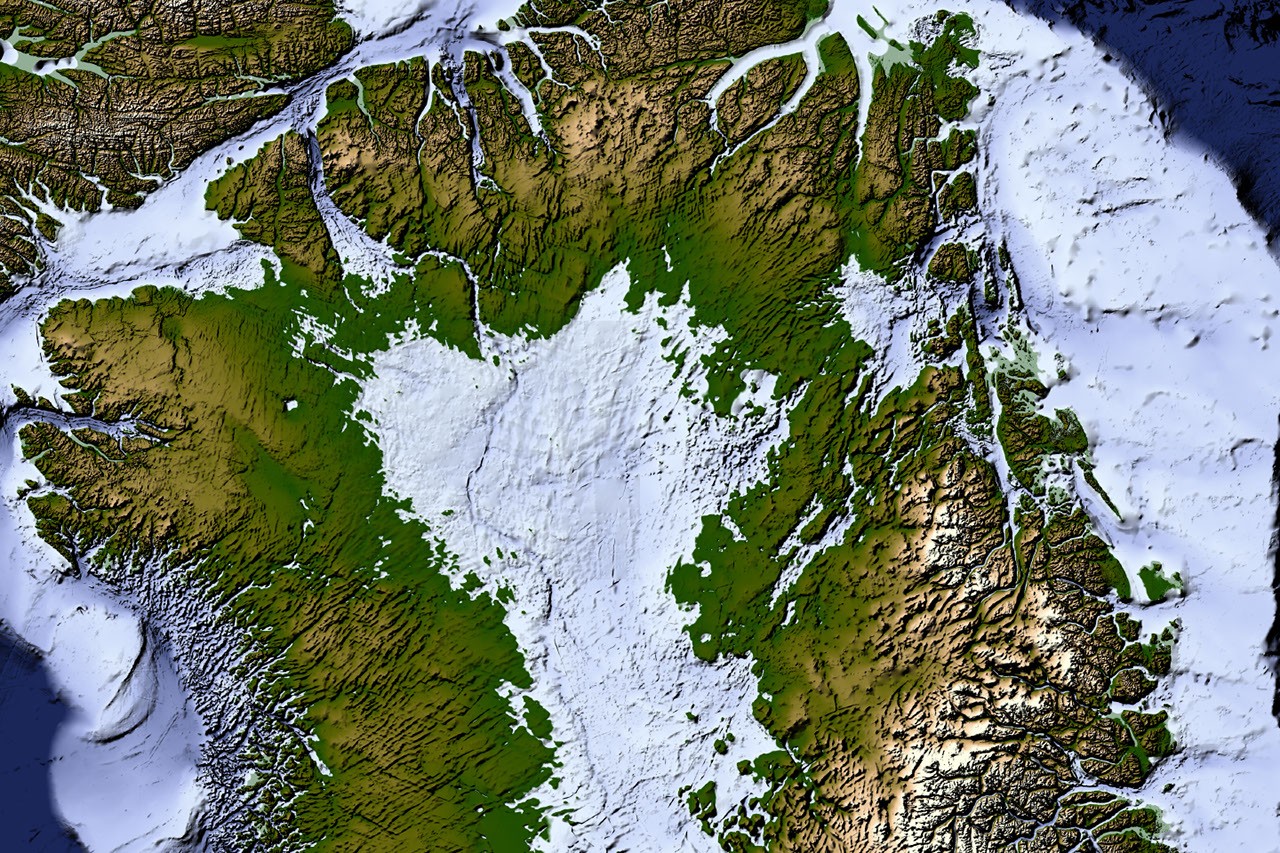
New mapping techniques are revealing geological landscapes concealed beneath polar ice. A NASA-led study used subtle changes in Greenland’s ice-surface shape to map 1,943 buried valleys, about a third newly identified, and found that many previously mapped valleys extend much farther inland than earlier data suggested. Separate research on Antarctic sediments and zircon minerals indicates that remnants of mountain systems formed during Gondwana’s assembly lie beneath the ice; researchers say erosion of these mountains may have supplied ocean nutrients that helped support early animal life. Another investigation used satellite gravity and seismic data to identify a distinct, Ohio-sized block of ancient continental crust beneath East Antarctica. Together, the findings offer new clues to the geological histories of Greenland and Antarctica, though the Antarctic studies draw on different evidence and methods.
Key Points
1
In the zircon database analyzed for the Antarctic mountain study, about 46% of the grains from the Cambrian interval were attributed to Antarctica; the share rose to 55% among grains associated with high-pressure formation. The researchers cautioned that these figures describe the database, not the proportion of Antarctica covered by ancient mountains.
2
A related analysis examined 1,712 zircon grains, including oxygen and hafnium isotope compositions for some samples, and estimated that the material came from glacial drainage areas covering roughly 90% of Antarctica.
3
The East Antarctic crustal-block analysis used gravity data from the European Space Agency’s GOCE satellite, which operated from 2009 to 2013, alongside seismic tomography and magnetic surveys to distinguish the block from surrounding crust.
4
The zircon ages highlighted in the Antarctic research span approximately 650 million to 450 million years ago, a period the researchers associate with tectonic processes during Gondwana’s assembly.
Sentiment
Mostly PositiveNEGATIVENEUTRALPOSITIVE
Publishers
6
Articles
6
Reach
12
Topics
A
AnonymousAuthor